Homeland Properties
29 Acres | FM 1960
Commercial, Land, Liberty County
FM 1960, Dayton, Texas 77535
Listing ID: 60391
29.715 Acres$1,400,000 Total
Property Description:
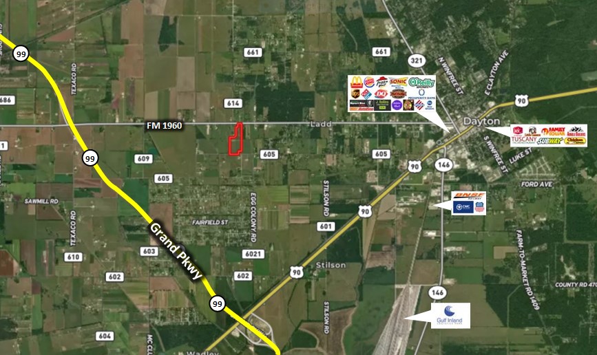
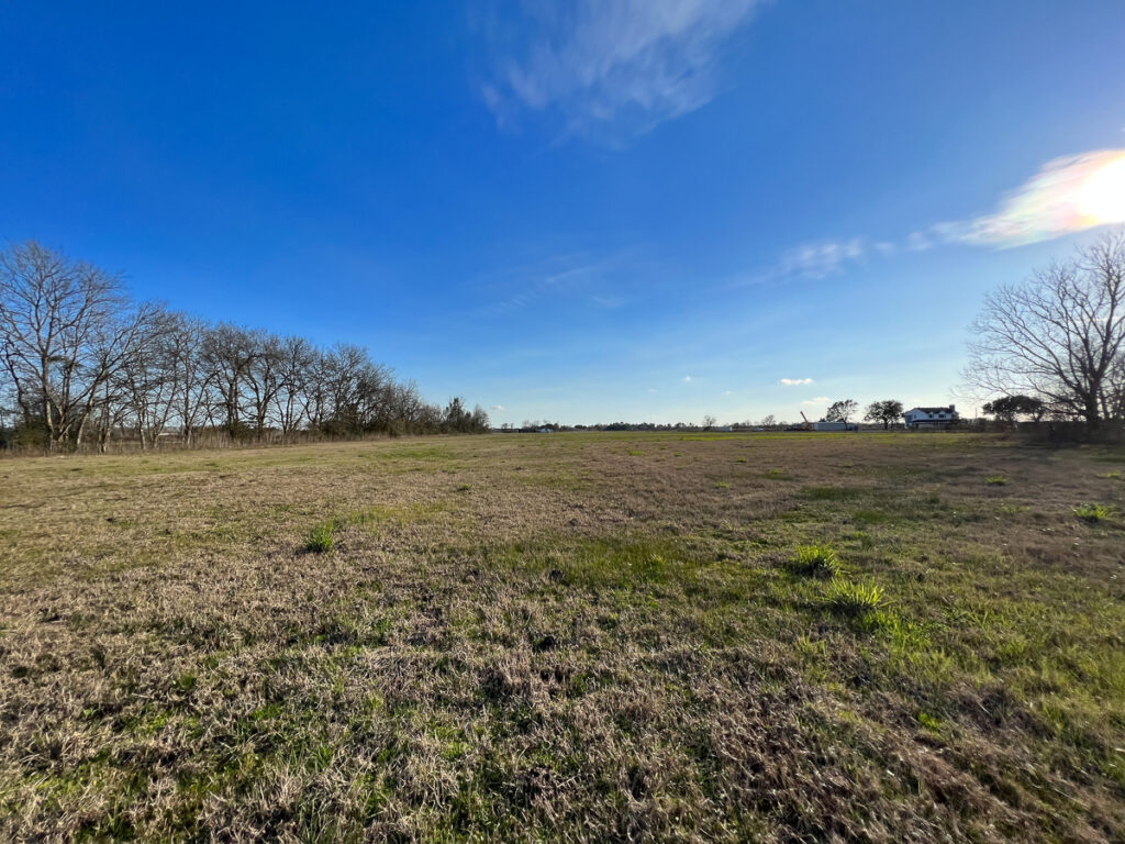
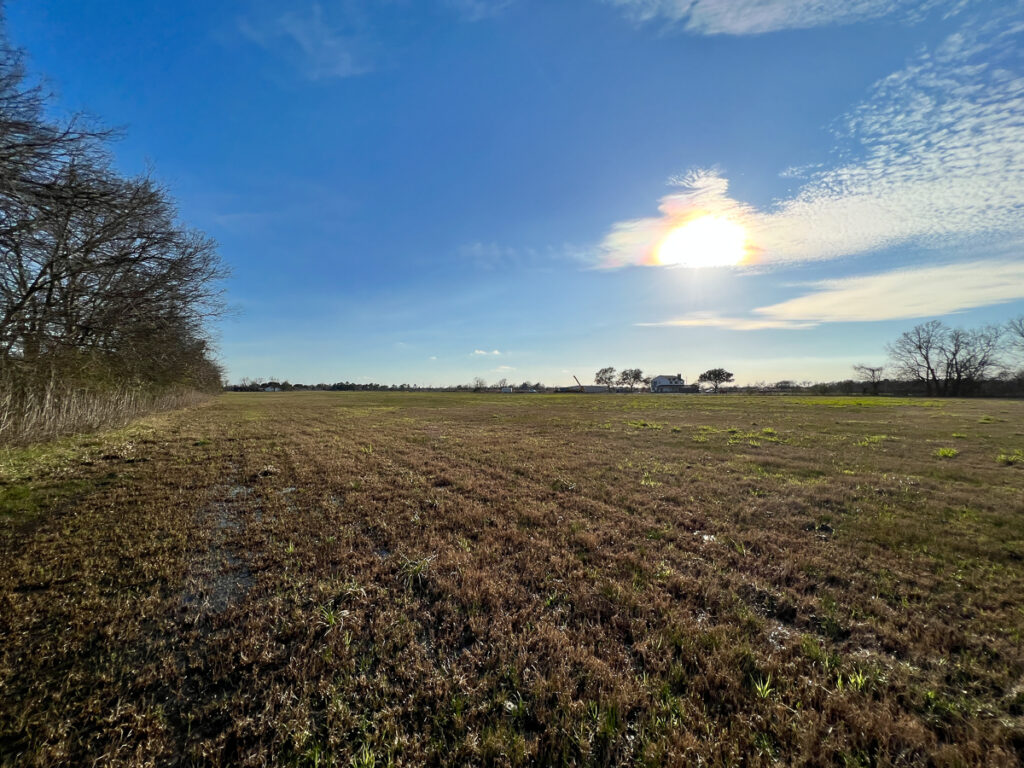
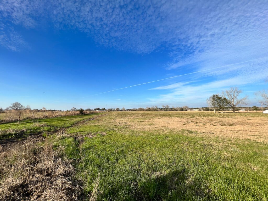
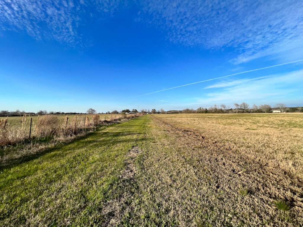
Excellent development opportunity in the path of progress at the entrance to Dayton, TX!
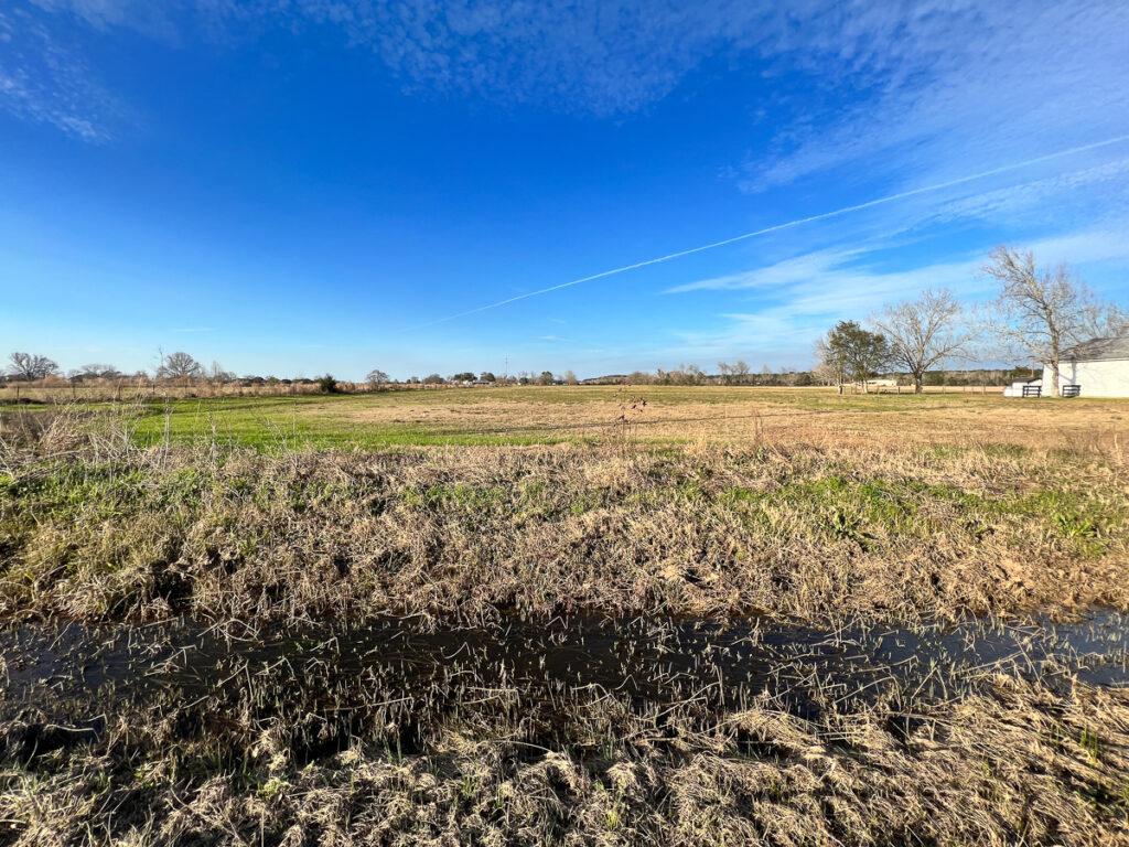
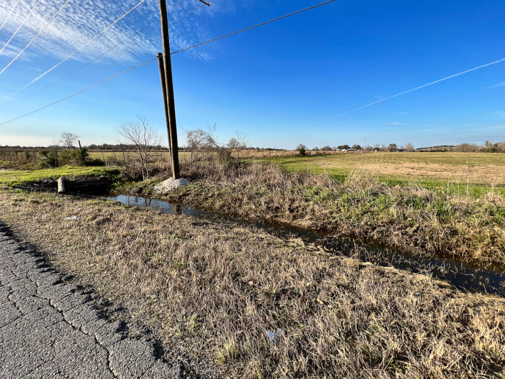
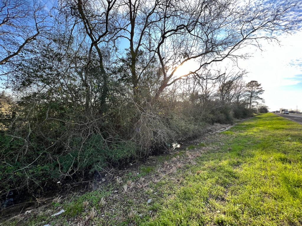
This property’s location has frontage on FM 1960 (10,943 Avg. annual traffic count per day in 2021) & CR 605 making it a prime candidate for residential or commercial development. Currently zoned for Semi-Urban Residential (SU) allowing for increased housing density under current Neighborhood Development Standards. 12″ water line on FM 1960, electricity on site, and city sewer available by extension.
Dayton is poised for rapid growth with the recent completion of the Grand Parkway (99) at its doorstep, intersections of Hwy 90/SH 146/SH 321/FM 1960, multiple rail lines, and a growing 1,300 acre industrial park. This is the logistics and transportation hub of the region, creating job growth and economic stability for the area.
Do not miss this opportunity. Contact us today!
Other Details
Showing/Viewing Instructions:Buyer &/or agents must notify Homeland Properties of intent to view/tour & make advance appointment. A minimum of 24 hours’ notice is required. Buyers must be accompanied by broker/agent. Licensed co-brokers are welcome to show this property by advance appointment and will receive a co-broker fee if the co-broker accompanies their buyer from the first contact to the closing of a sale.
Directions:From Houston: take I-69/59 N to FM 1960, turn right. Follow FM 1960 for 14 miles to the destination on your right.
Access/Frontage:FM 1960, CR 605
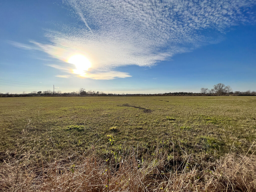
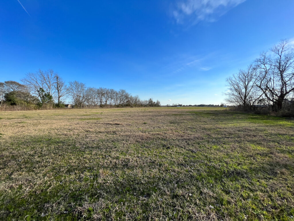
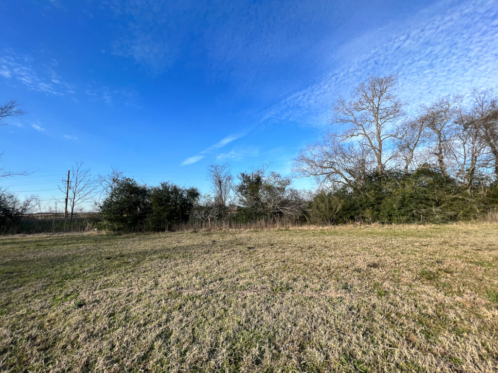
Terrain Description:Cleared with level topography.
Restrictions:N/A
Land Use:Other
Utilities:Public Water, Electricity
Legal Description:Blocks 10 & 13, Maysville Addition Liberty Town West League A-357, Liberty Co., TX
Corners/Property Lines:Visible and/or marked in field.
School District:Dayton ISD
Financial
Earnest Money:5%
Tax Amount:$74.93
Tax Year:2022
Tax ID:58645
Exemptions:Agriculture
Payment Options:Cash Sale, Conventional, Investor
Disclaimers
Listing Disclaimer:The use and/or reproduction of any marketing materials generated by HomeLand Properties, Inc. and/or its associated clients, including, but not limited to, maps, videos, photos, spreadsheets, diagrams, contracts, documents, etc. is strictly prohibited without written consent. The information contained herein is from sources deemed reliable but is not guaranteed by HomeLand Properties, Inc. The offerings are subject to change in price, errors, omissions, prior sales or withdrawal without notice. This disclaimer supersedes any & all information published by other MLS sites whether by permission or not, including, but not limited to, co-broker fees, if any. Acreage size and dimensions are approximate. County Appraisal District (CAD) market and tax values, as well as acreage size and/or shape, are not applicable to real estate market conditions and/or this solicitation, other than for ag value (1D1) purposes.
Legal Disclaimer:Size is approximate and subject to recorded legal description or surveyed gross acres to include, but not limited to, any acres lying within roads & easements. CAD shape files are not reliable. Shape files per maps herein are considered the most accurate available and are derived using the best information available, included, but not limited to, GIS data, field data, legal descriptions, and survey, if available.
Title and Survey Disclaimer:Required for division. Expense subject to negotiation. Seller requires use of seller's preferred surveyor/title company.
Mineral Disclaimer:Oil and gas minerals have been reserved by prior owners.
Other reservations subject to title and/or sellers contract when applicable.
Easement Disclaimer:Visible and apparent and/or marked in field., N/A, Pipeline, Electrical
Tax Disclaimer:Properties may qualify for future exemption subject to usage.
Listing Agent

Property Photos:


-
Aerial

-
Topo

-
Commercial/Retail Nearby

-
Location Map 1

-
Location Map 2

-
Location Map 3

-
Survey

-
Brochure

Showing/Viewing Instructions:Buyer &/or agents must notify Homeland Properties of intent to view/tour & make advance appointment. A minimum of 24 hours’ notice is required. Buyers must be accompanied by broker/agent. Licensed co-brokers are welcome to show this property by advance appointment and will receive a co-broker fee if the co-broker accompanies their buyer from the first contact to the closing of a sale.
Directions:From Houston: take I-69/59 N to FM 1960, turn right. Follow FM 1960 for 14 miles to the destination on your right.
Access/Frontage:FM 1960, CR 605
Terrain Description:Cleared with level topography.
Restrictions:N/A
Land Use:Other
Utilities:Public Water, Electricity
Legal Description:Blocks 10 & 13, Maysville Addition Liberty Town West League A-357, Liberty Co., TX
Corners/Property Lines:Visible and/or marked in field.
School District:Dayton ISD
Earnest Money:5%
Tax Amount:$74.93
Tax Year:2022
Tax ID:58645
Exemptions:Agriculture
Payment Options:Cash Sale, Conventional, Investor
Listing Disclaimer:The use and/or reproduction of any marketing materials generated by HomeLand Properties, Inc. and/or its associated clients, including, but not limited to, maps, videos, photos, spreadsheets, diagrams, contracts, documents, etc. is strictly prohibited without written consent. The information contained herein is from sources deemed reliable but is not guaranteed by HomeLand Properties, Inc. The offerings are subject to change in price, errors, omissions, prior sales or withdrawal without notice. This disclaimer supersedes any & all information published by other MLS sites whether by permission or not, including, but not limited to, co-broker fees, if any. Acreage size and dimensions are approximate. County Appraisal District (CAD) market and tax values, as well as acreage size and/or shape, are not applicable to real estate market conditions and/or this solicitation, other than for ag value (1D1) purposes.
Legal Disclaimer:Size is approximate and subject to recorded legal description or surveyed gross acres to include, but not limited to, any acres lying within roads & easements. CAD shape files are not reliable. Shape files per maps herein are considered the most accurate available and are derived using the best information available, included, but not limited to, GIS data, field data, legal descriptions, and survey, if available.
Title and Survey Disclaimer:Required for division. Expense subject to negotiation. Seller requires use of seller's preferred surveyor/title company.
Mineral Disclaimer:Oil and gas minerals have been reserved by prior owners.
Other reservations subject to title and/or sellers contract when applicable.
Easement Disclaimer:Visible and apparent and/or marked in field., N/A, Pipeline, Electrical
Tax Disclaimer:Properties may qualify for future exemption subject to usage.