Homeland Properties
Sold: 348 Acres | FM 38
Land, Lamar County
FM 38, Roxton, Texas 75477
Listing ID: 63563
348.883 Acres$3,727 per acre
Property Description:
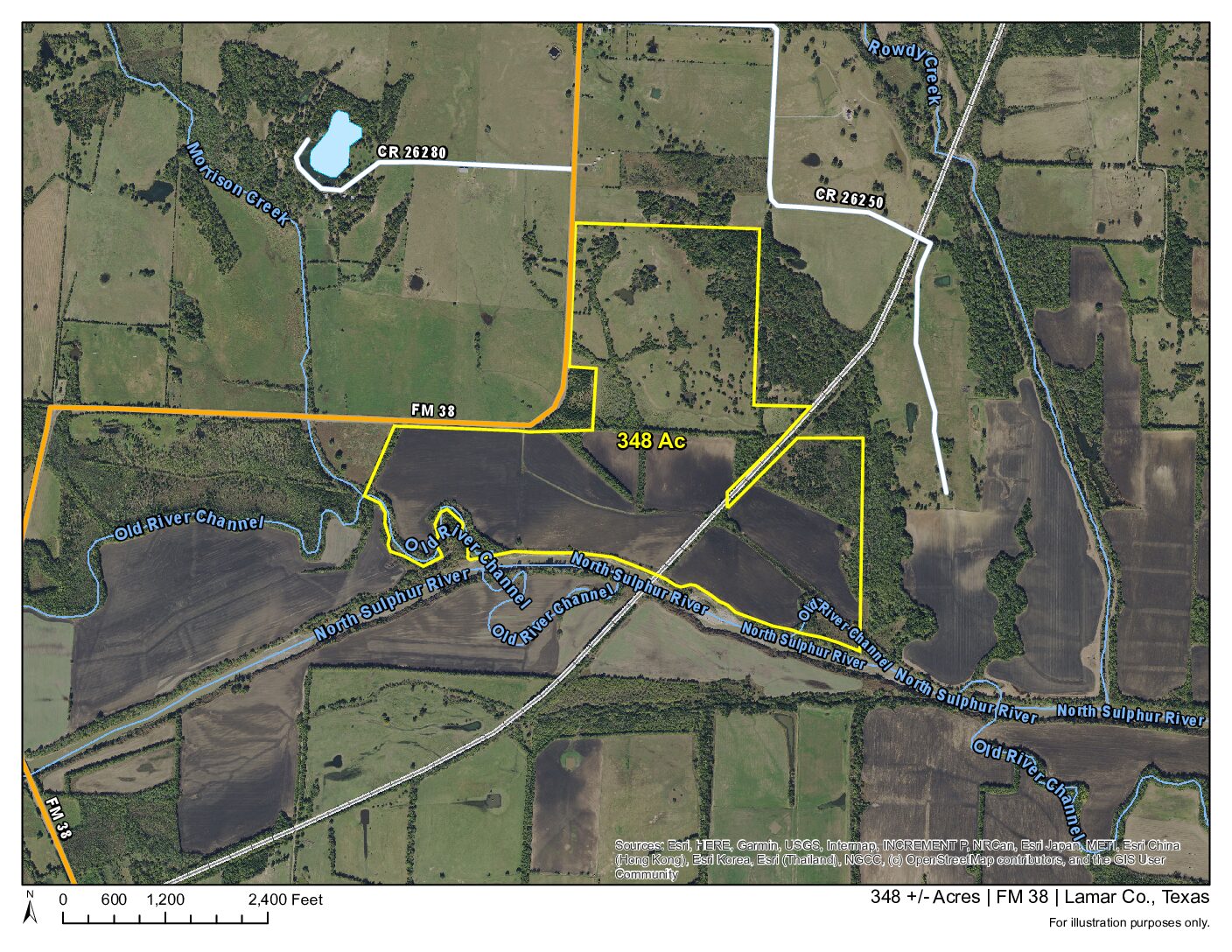
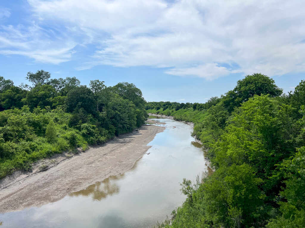
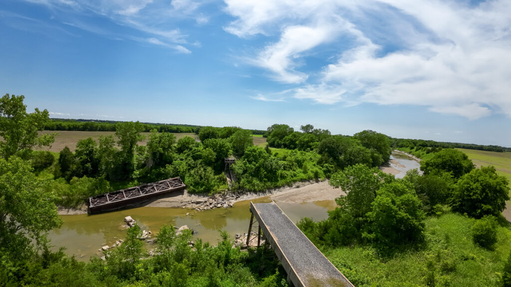
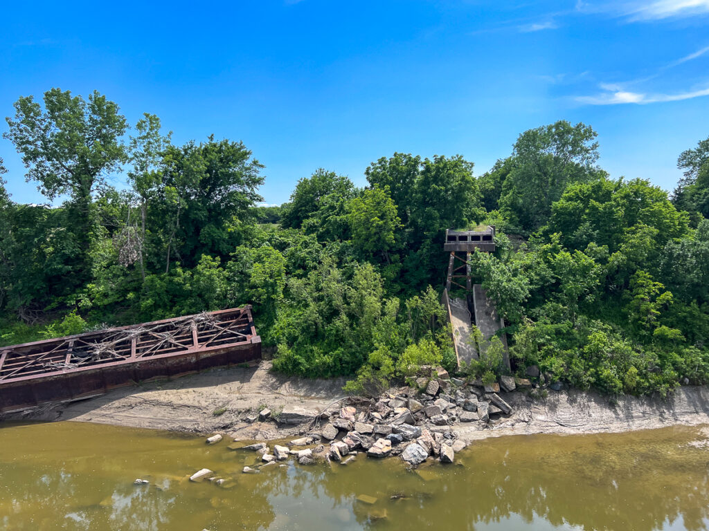
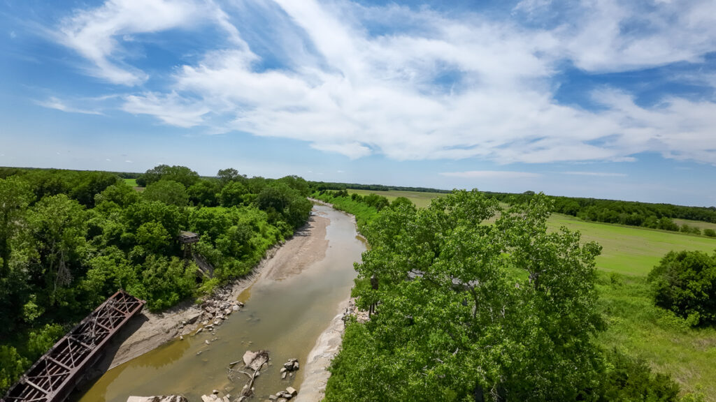
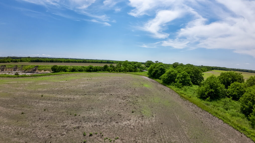
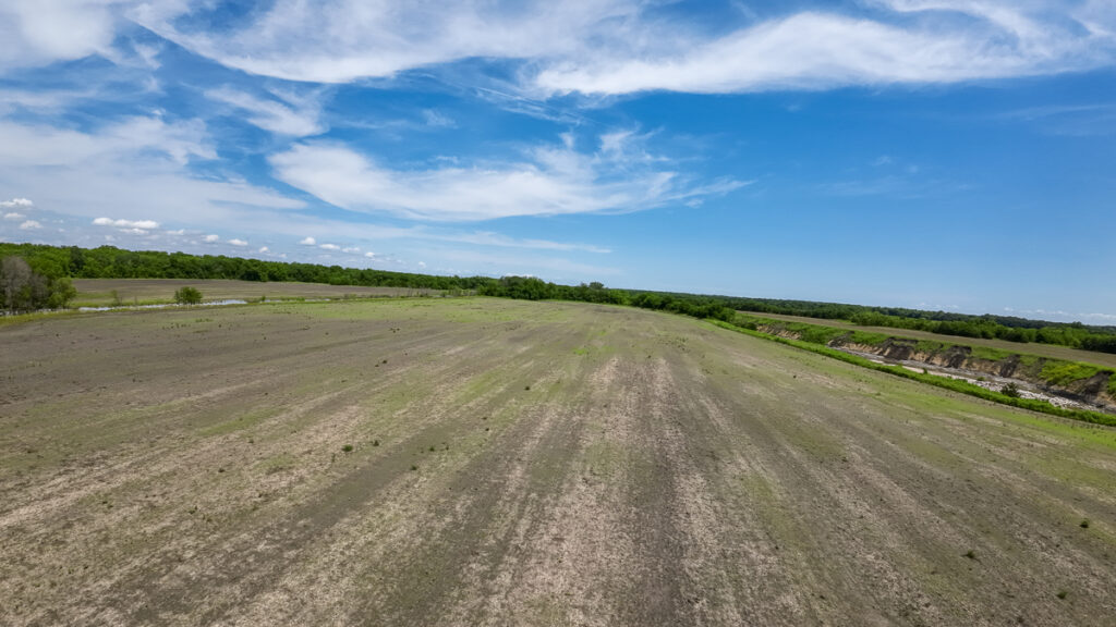
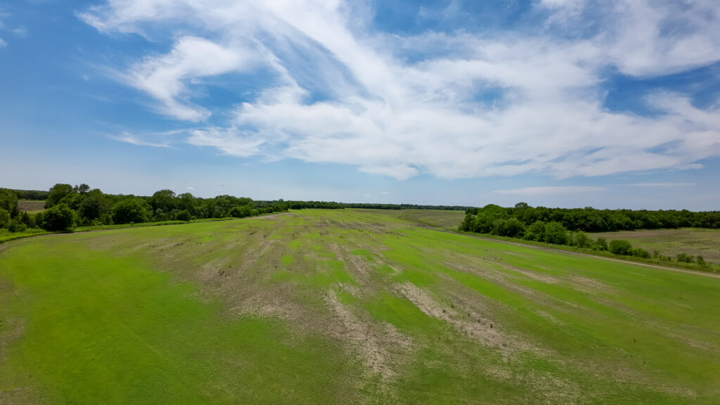
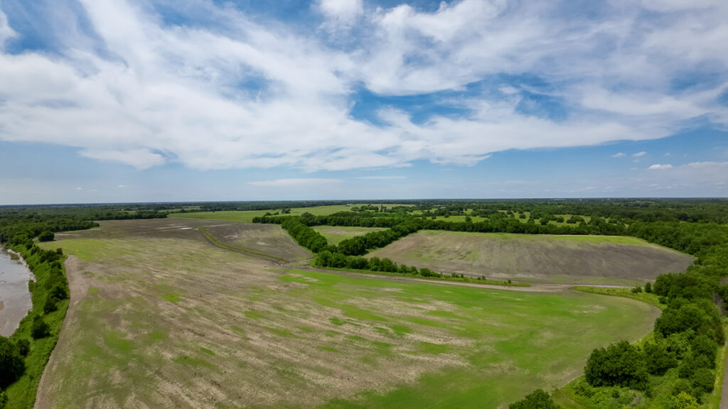
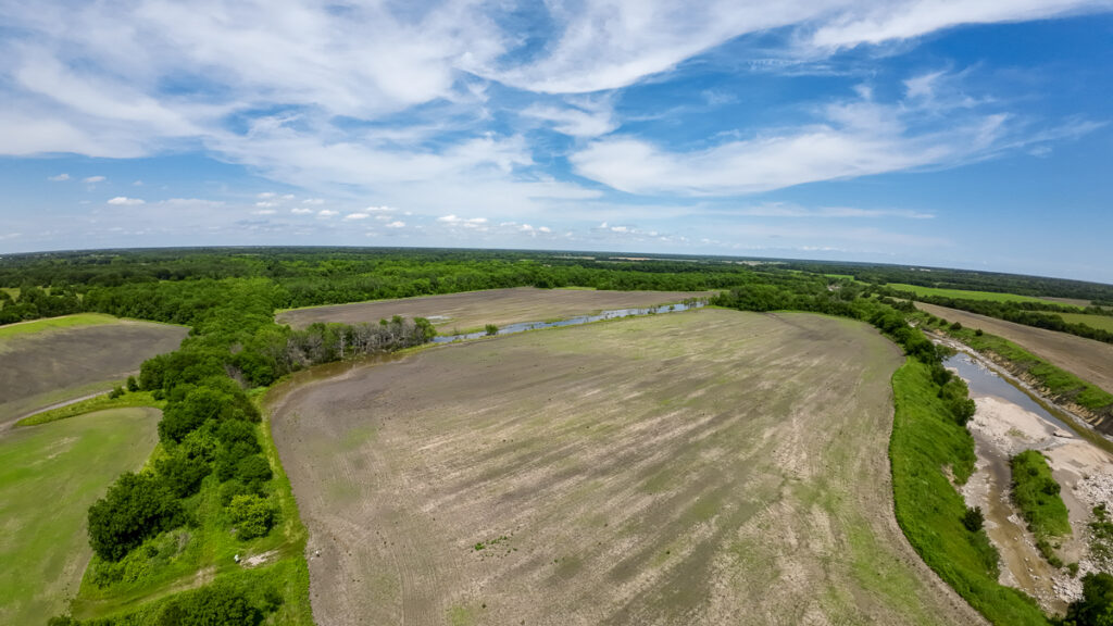
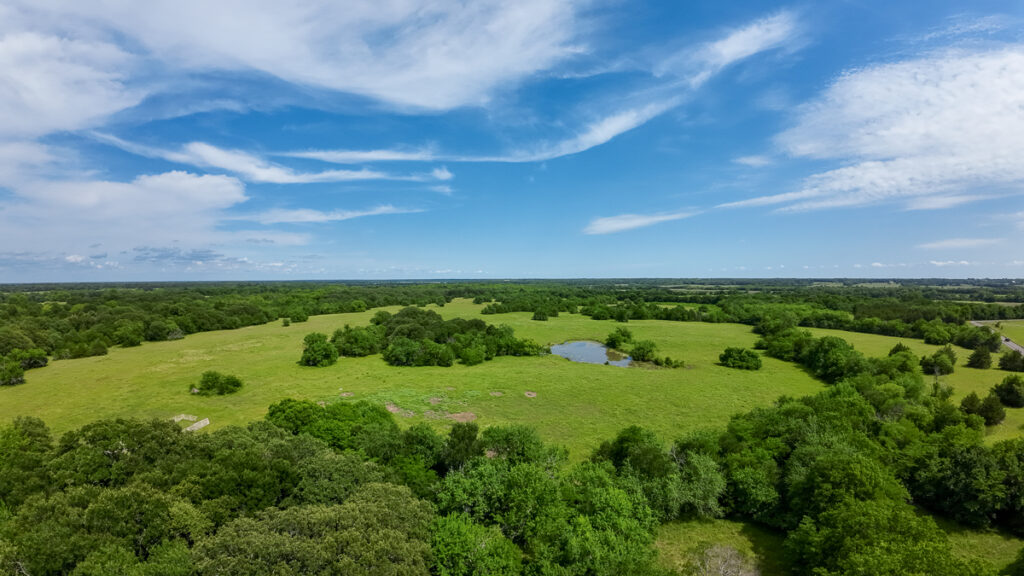
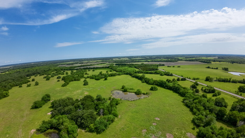
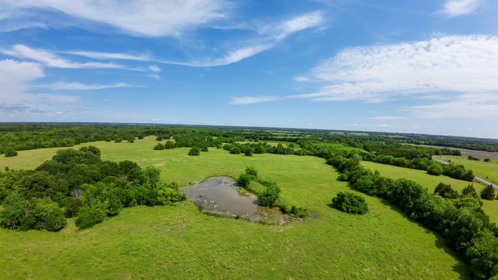
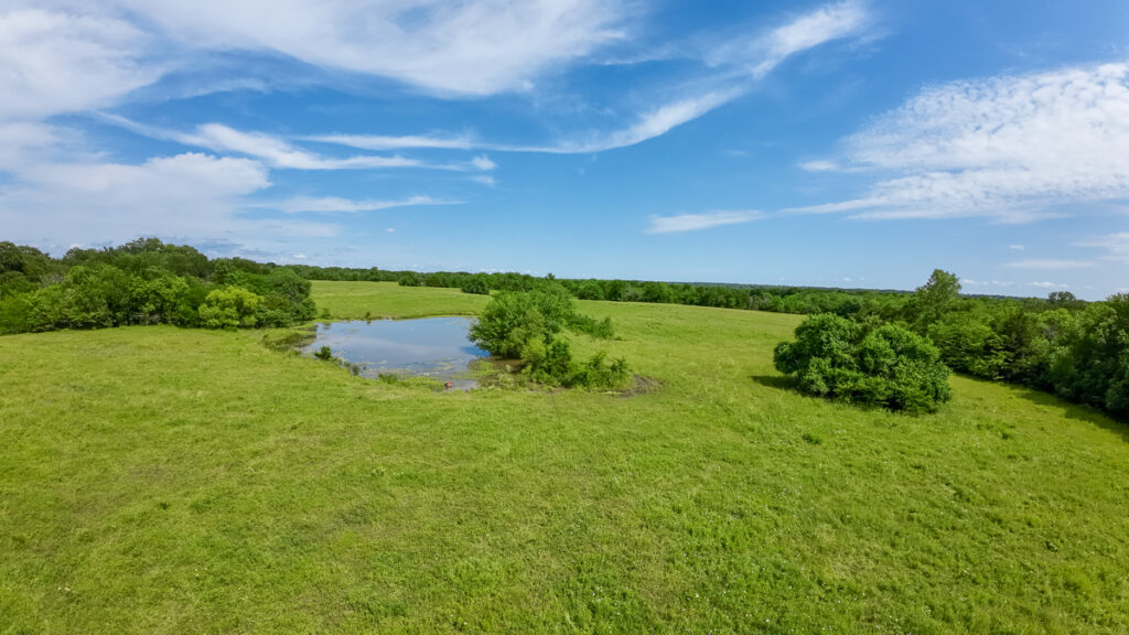
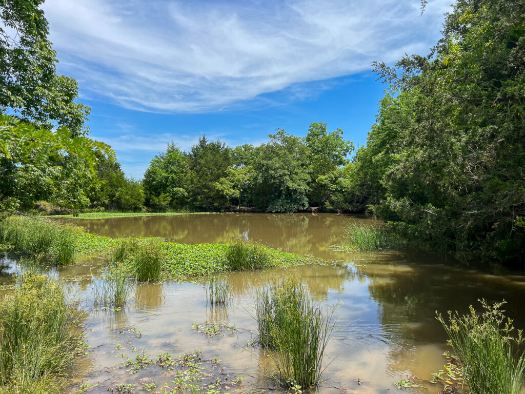
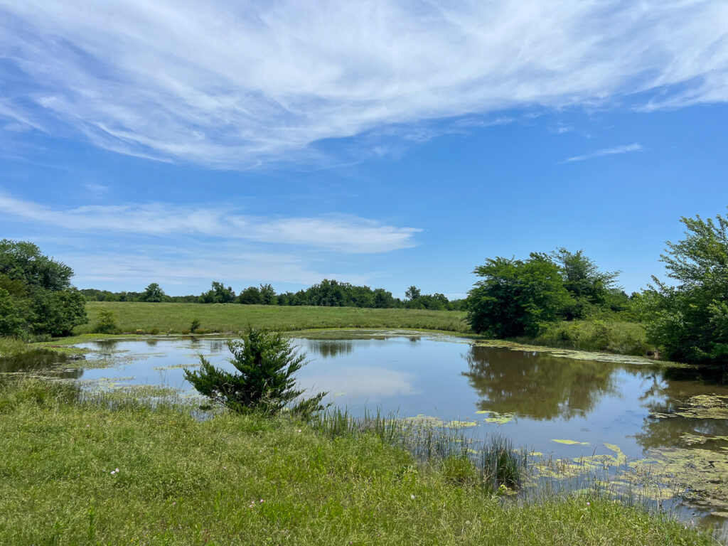
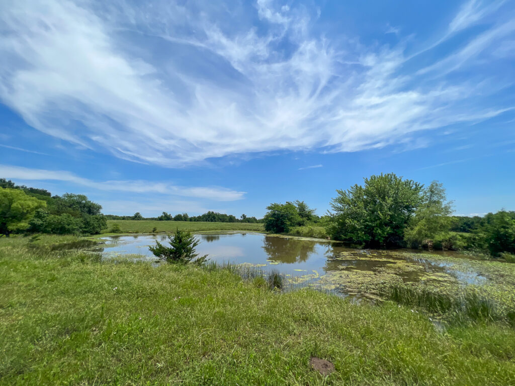
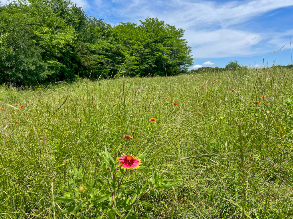
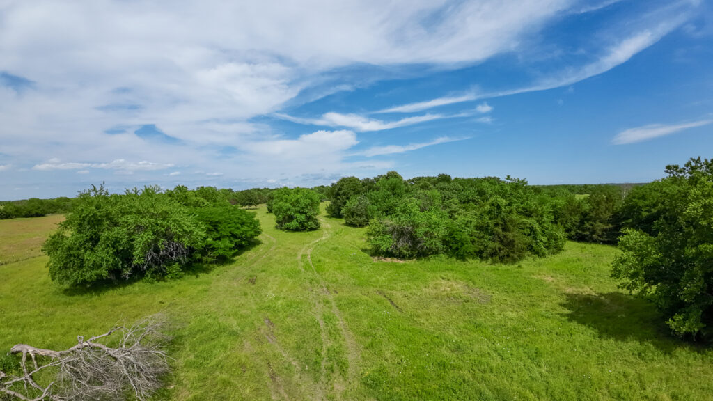
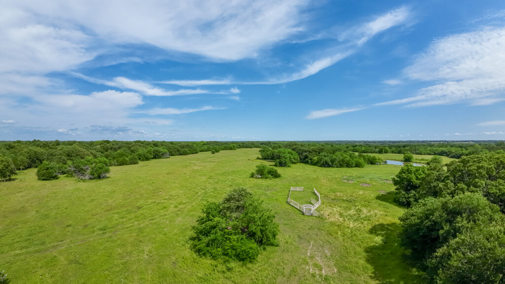
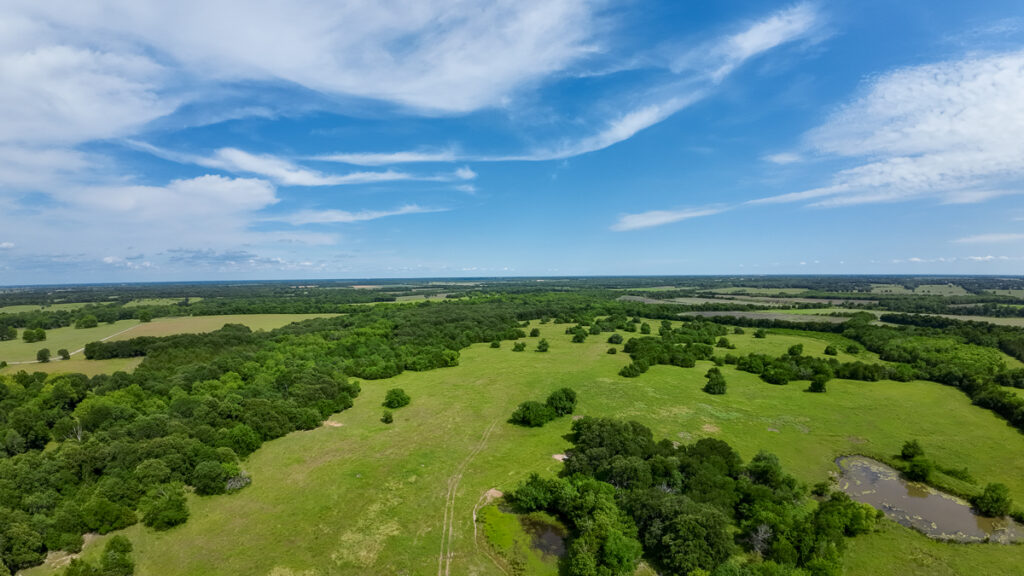
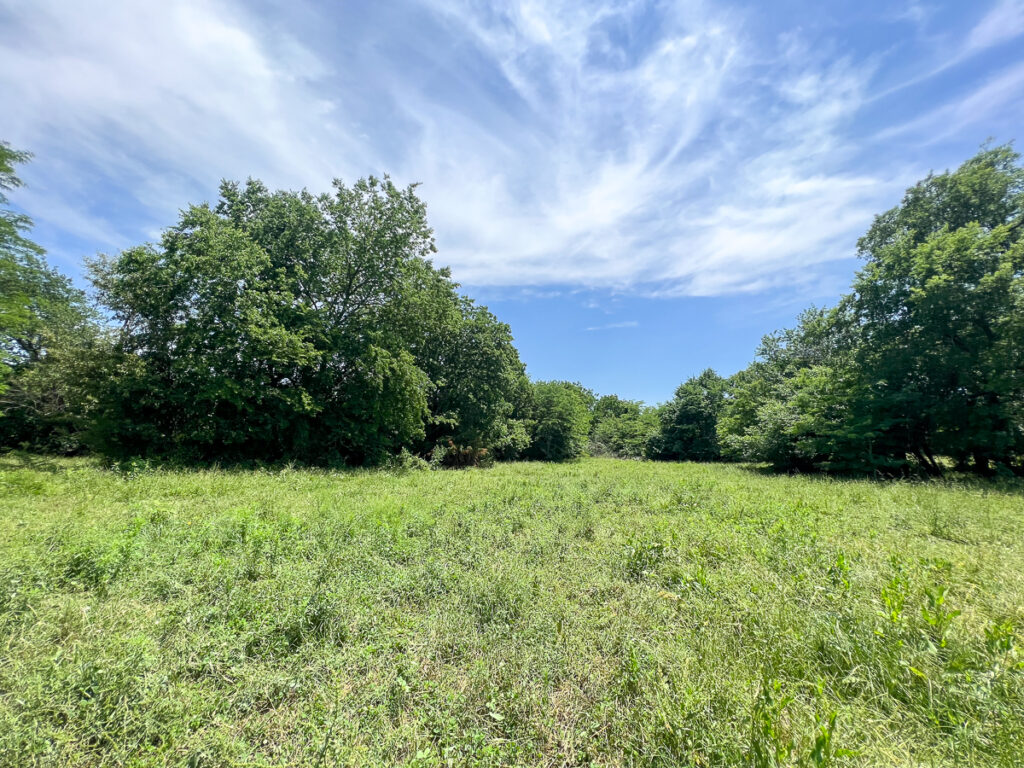
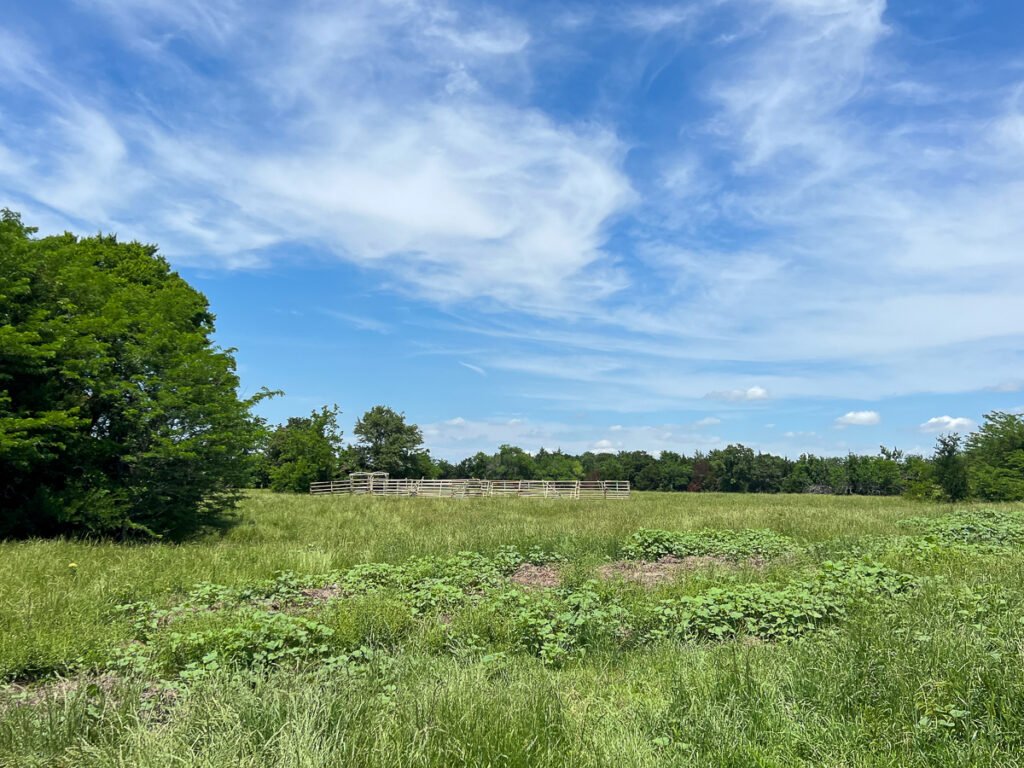
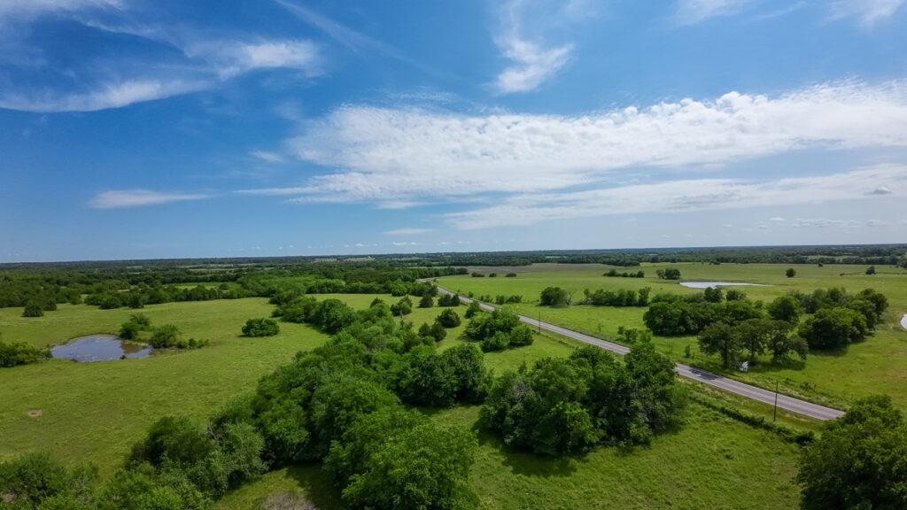
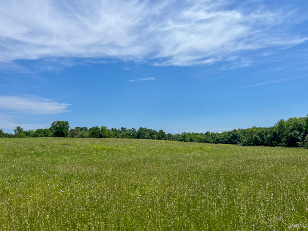
RIVERFRONT. 348+ acres of recreational, incoming producing agricultural property in Lamar County! Fronting the Sulphur River, this small piece of paradise is an agricultural property producing anything from corn, soybean, winter wheat, etc. Approximately ~125 acres of pastureland with scattered trees and several ponds for livestock accompanied by 200+ acres of high production/yield farmland. Very close to the coming Lake Ralph Hall and Lake Bois D Arc lake. Cattle grazing, continued agricultural production, residential, recreational, etc. This property appeals to a wide range of folks! Don’t hesitate to reach out. This property is priced to sell!
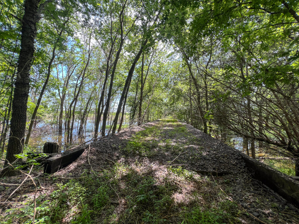
OF NOTE: The South Easterly 85.883 does not have legal access. There is a crossing across the Northeast Texas Trail that has been utilized since the 1980s, but it is not legal access. The owner of the trail, Chaparral Rails to Trails, has allowed permission for property owners to cross over the trail during the time the trail is being improved. However, they will not guarantee future legal access across the trail. The owner of the property has taken this into consideration when pricing the property.
Other Details
Showing/Viewing Instructions:Buyer &/or agents must notify Homeland Properties of intent to view/tour & make advance appointment. A minimum of 24 hours’ notice is required. Buyers must be accompanied by broker/agent. Licensed co-brokers are welcome to show this property by advance appointment and will receive a co-broker fee if the co-broker accompanies their buyer from the first contact to the closing of a sale.
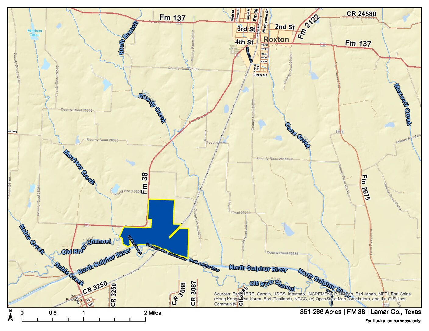
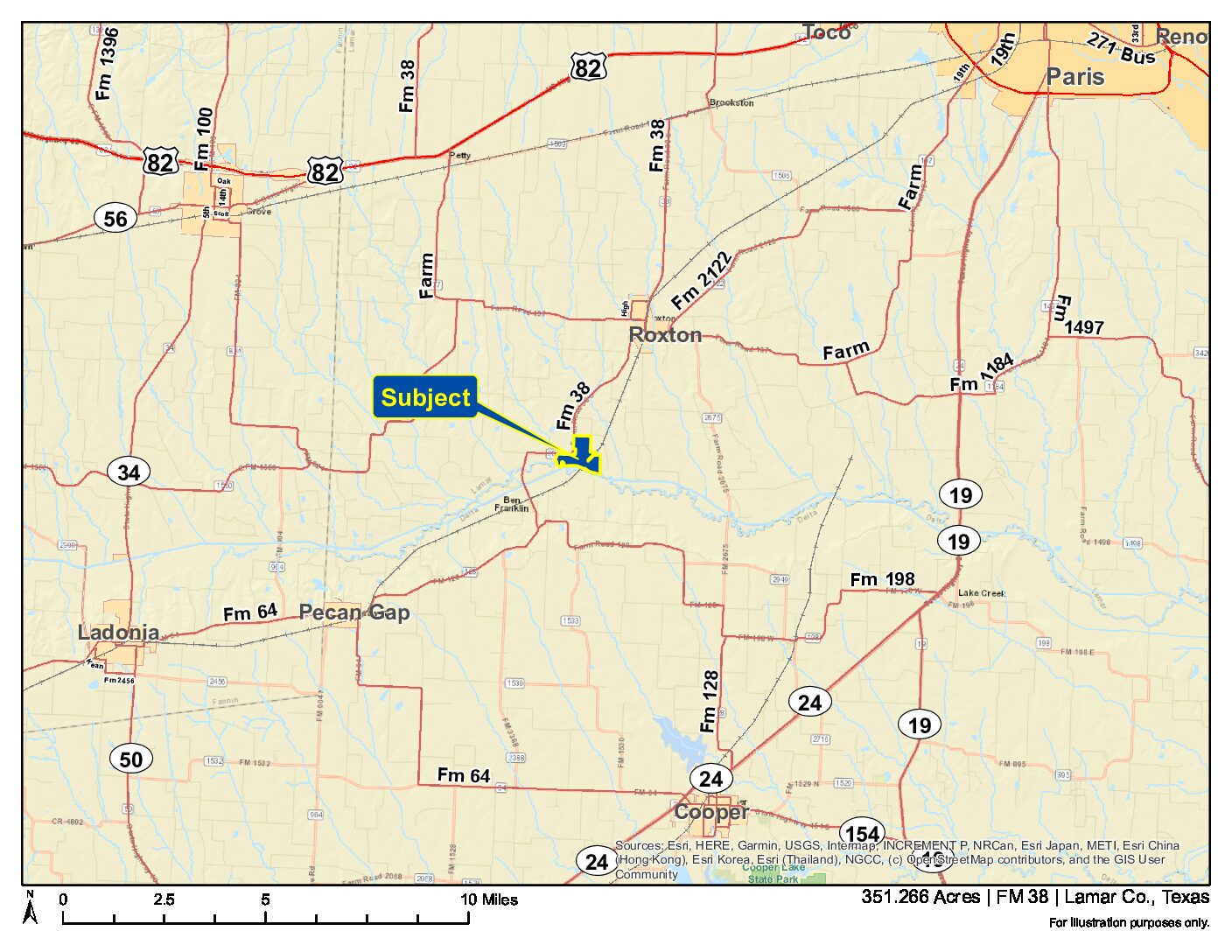
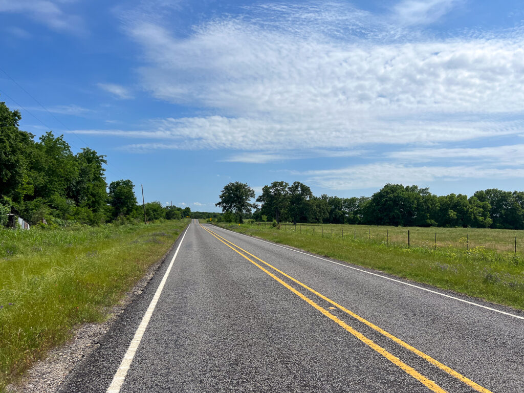
Directions:Southwest of Roxton, Texas, Northeast of Ben Franklin, Texas. Fronts Eastern side of FM 38, fronting Sulphur River just northeast of Ben Franklin. See Location Maps herein.
Access/Frontage:FM 38
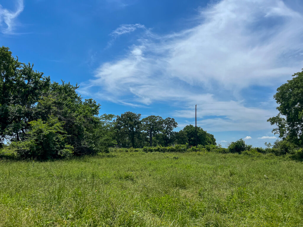
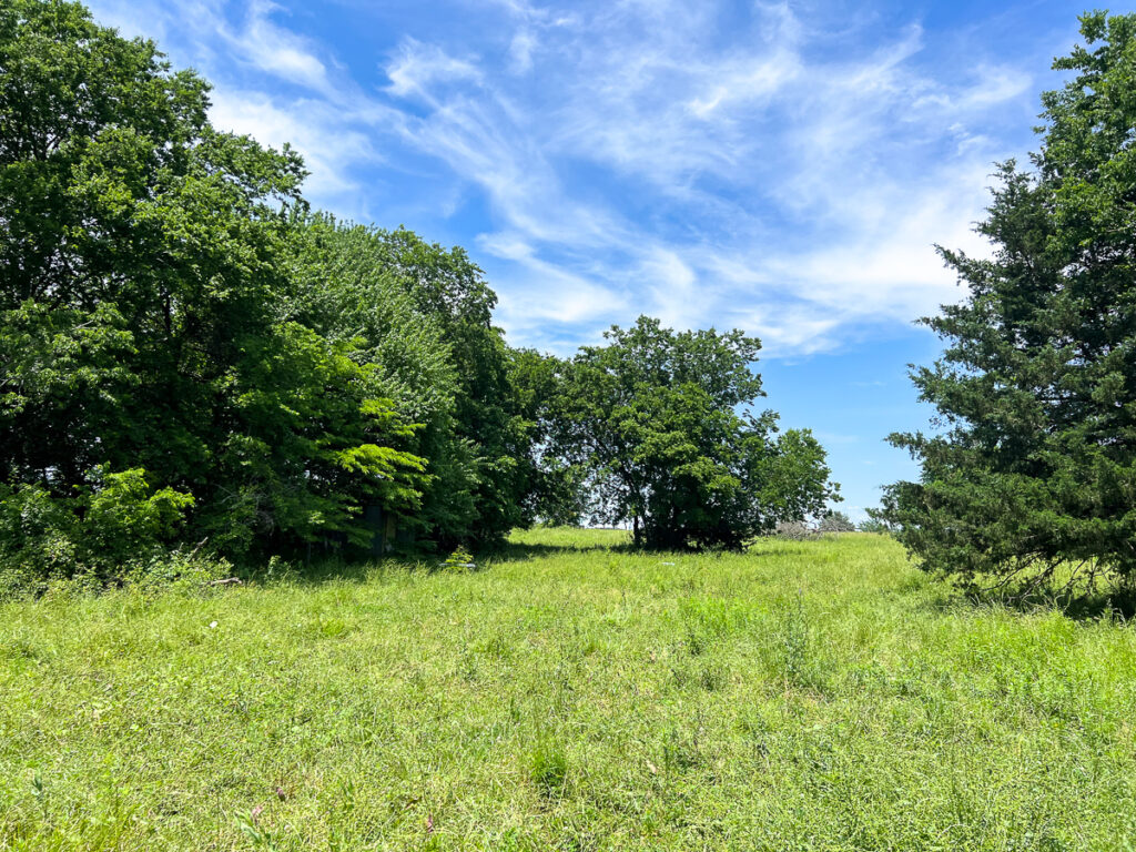
Terrain Description:Mix of pasture and high yield farm land, with scattered hard woods. Borders the Sulphur River on the south boundary. Portions of the tract lie within the floodplain. See Topography Map herein.
Restrictions:None Known
Land Use:Cattle Ranch, Hunting, Leisure Ranch, Mobile Home Allowed, Recreation, Unrestricted
Utilities:Other Water/Sewer
Utility District(s):Oncor, Lamar Electric Cooperative
Legal Description:S. Derrick Survey, A-265, Lamar County, Texas.
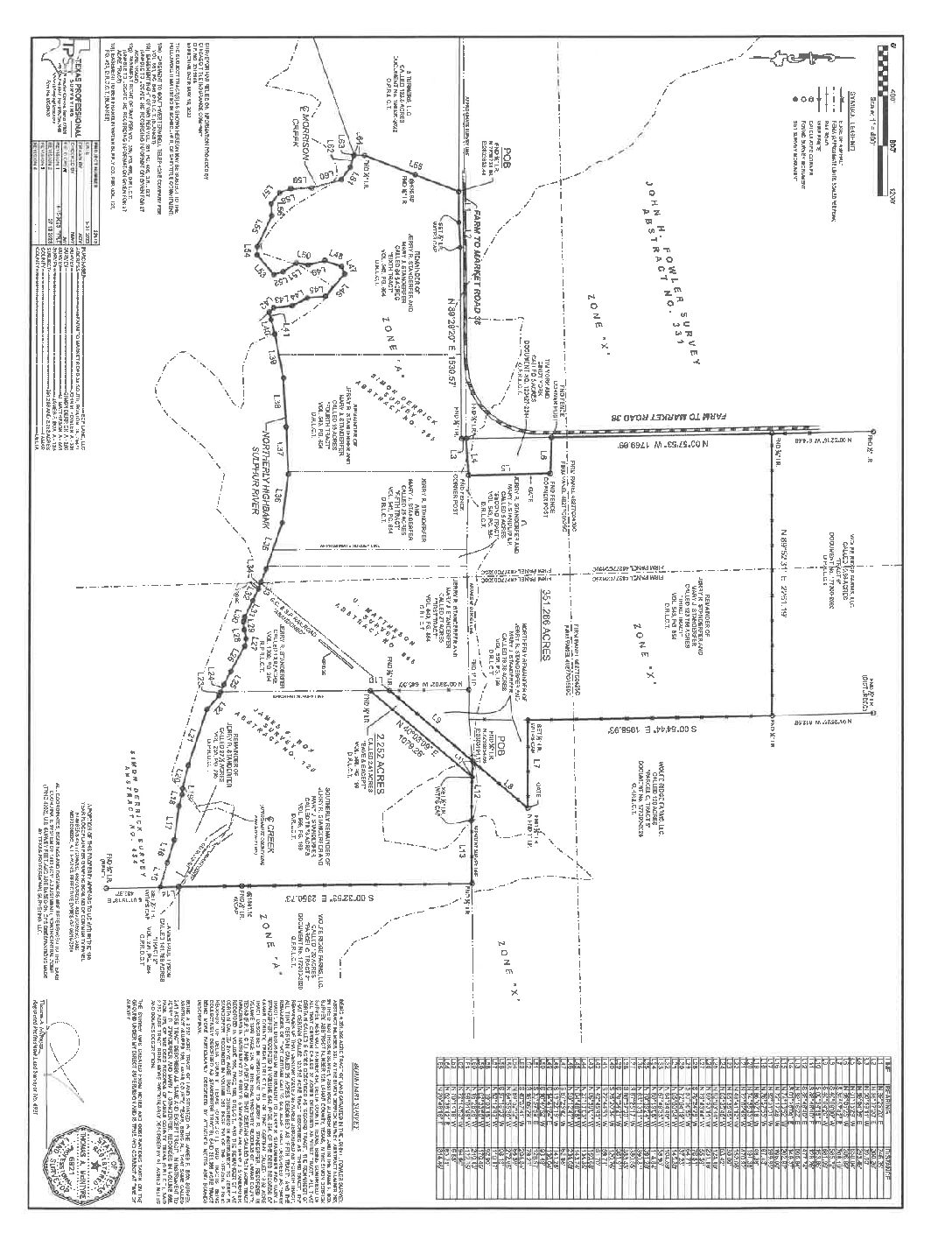
Corners/Property Lines:Property lines on plats are arbitrary and not visible in the field, for illustration purposes only. See Survey under Documents herein.
School District:Chisum ISD
Financial
Earnest Money:5%
Tax Amount:$285
Tax Year:2022
Tax ID:81316, 81312, 81313
Exemptions:Agriculture
Payment Options:Cash Sale, Conventional, Investor
Disclaimers
Listing Disclaimer:The use and/or reproduction of any marketing materials generated by HomeLand Properties, Inc. and/or its associated clients, including, but not limited to, maps, videos, photos, spreadsheets, diagrams, contracts, documents, etc. is strictly prohibited without written consent. The information contained herein is from sources deemed reliable but is not guaranteed by HomeLand Properties, Inc. The offerings are subject to change in price, errors, omissions, prior sales or withdrawal without notice. This disclaimer supersedes any & all information published by other MLS sites whether by permission or not, including, but not limited to, co-broker fees, if any. Acreage size and dimensions are approximate. County Appraisal District (CAD) market and tax values, as well as acreage size and/or shape, are not applicable to real estate market conditions and/or this solicitation, other than for ag value (1D1) purposes.
Legal Disclaimer:Size is approximate and subject to recorded legal description or surveyed gross acres to include, but not limited to, any acres lying within roads & easements. CAD shape files are not reliable. Shape files per maps herein are considered the most accurate available and are derived using the best information available, included, but not limited to, GIS data, field data, legal descriptions, and survey, if available.
Title and Survey Disclaimer:Expense subject to negotiation. Seller requires use of seller's preferred surveyor/title company.
Mineral Disclaimer:Oil and gas minerals have been reserved by prior owners. Other reservations subject to title and/or sellers contract when applicable.
Easement Disclaimer:Visible and apparent and/or marked in field.
Tax Disclaimer:Approximately $5/Ac/Yr with agriculture exemption. Properties may qualify for future exemption subject to usage.
Listing Agent
Property Photos:


Showing/Viewing Instructions:Buyer &/or agents must notify Homeland Properties of intent to view/tour & make advance appointment. A minimum of 24 hours’ notice is required. Buyers must be accompanied by broker/agent. Licensed co-brokers are welcome to show this property by advance appointment and will receive a co-broker fee if the co-broker accompanies their buyer from the first contact to the closing of a sale.
Directions:Southwest of Roxton, Texas, Northeast of Ben Franklin, Texas. Fronts Eastern side of FM 38, fronting Sulphur River just northeast of Ben Franklin. See Location Maps herein.
Access/Frontage:FM 38
Terrain Description:Mix of pasture and high yield farm land, with scattered hard woods. Borders the Sulphur River on the south boundary. Portions of the tract lie within the floodplain. See Topography Map herein.
Restrictions:None Known
Land Use:Cattle Ranch, Hunting, Leisure Ranch, Mobile Home Allowed, Recreation, Unrestricted
Utilities:Other Water/Sewer
Utility District(s):Oncor, Lamar Electric Cooperative
Legal Description:S. Derrick Survey, A-265, Lamar County, Texas.
Corners/Property Lines:Property lines on plats are arbitrary and not visible in the field, for illustration purposes only. See Survey under Documents herein.
School District:Chisum ISD
Earnest Money:5%
Tax Amount:$285
Tax Year:2022
Tax ID:81316, 81312, 81313
Exemptions:Agriculture
Payment Options:Cash Sale, Conventional, Investor
Listing Disclaimer:The use and/or reproduction of any marketing materials generated by HomeLand Properties, Inc. and/or its associated clients, including, but not limited to, maps, videos, photos, spreadsheets, diagrams, contracts, documents, etc. is strictly prohibited without written consent. The information contained herein is from sources deemed reliable but is not guaranteed by HomeLand Properties, Inc. The offerings are subject to change in price, errors, omissions, prior sales or withdrawal without notice. This disclaimer supersedes any & all information published by other MLS sites whether by permission or not, including, but not limited to, co-broker fees, if any. Acreage size and dimensions are approximate. County Appraisal District (CAD) market and tax values, as well as acreage size and/or shape, are not applicable to real estate market conditions and/or this solicitation, other than for ag value (1D1) purposes.
Legal Disclaimer:Size is approximate and subject to recorded legal description or surveyed gross acres to include, but not limited to, any acres lying within roads & easements. CAD shape files are not reliable. Shape files per maps herein are considered the most accurate available and are derived using the best information available, included, but not limited to, GIS data, field data, legal descriptions, and survey, if available.
Title and Survey Disclaimer:Expense subject to negotiation. Seller requires use of seller's preferred surveyor/title company.
Mineral Disclaimer:Oil and gas minerals have been reserved by prior owners. Other reservations subject to title and/or sellers contract when applicable.
Easement Disclaimer:Visible and apparent and/or marked in field.
Tax Disclaimer:Approximately $5/Ac/Yr with agriculture exemption. Properties may qualify for future exemption subject to usage.


