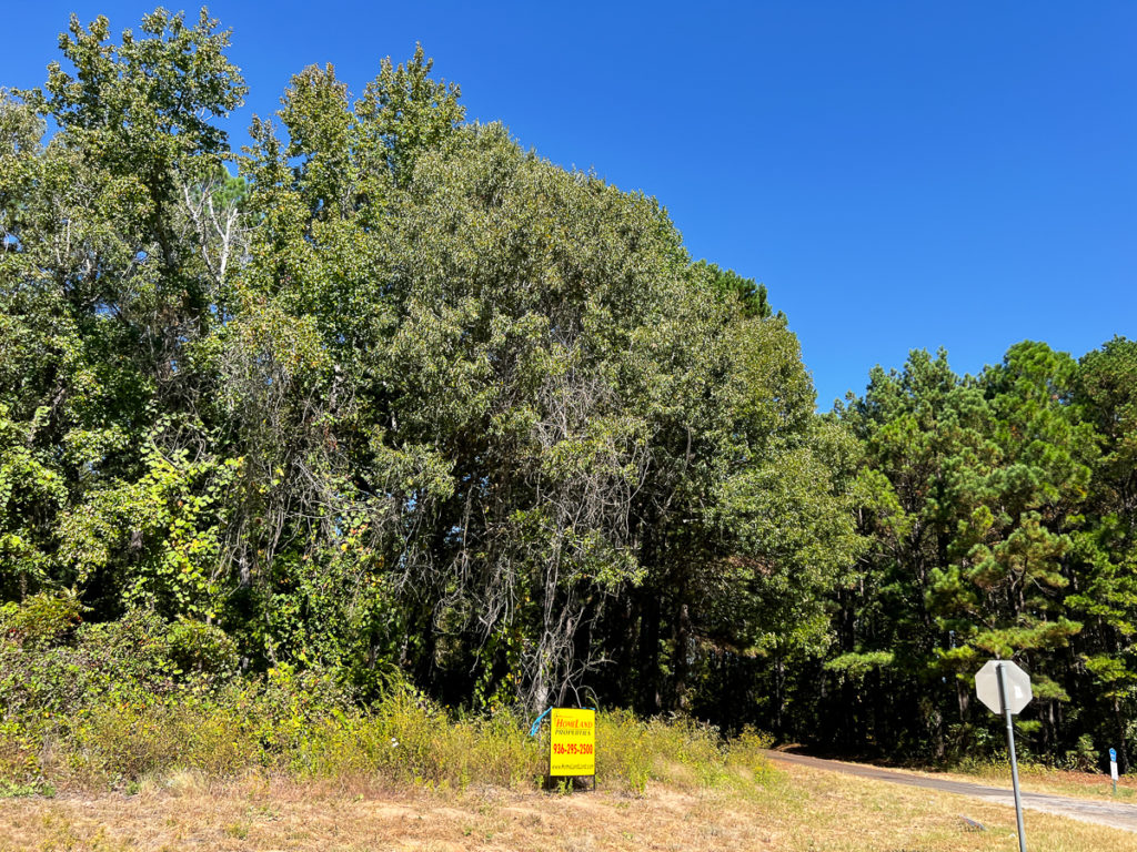
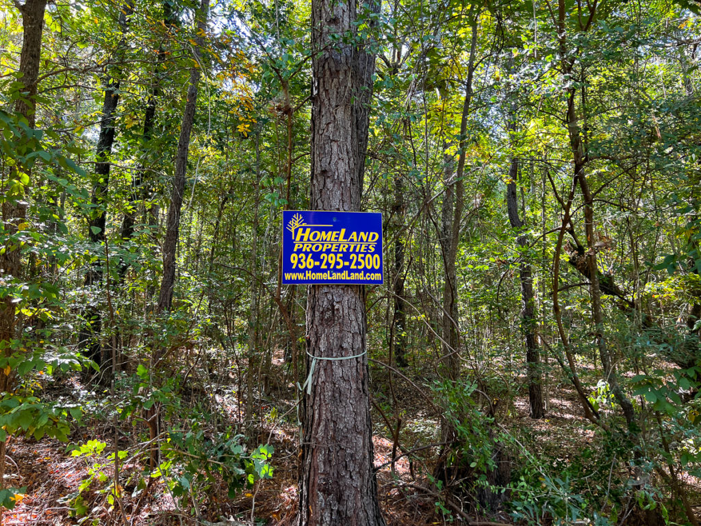
Homeland Properties
Sold: 49 Acres | County Road 3144
Land, Rusk County
County Road 3144, Mount Enterprise, Texas 75681
Listing ID: 61562
49 Acres$5,850 per acre
Property Description:
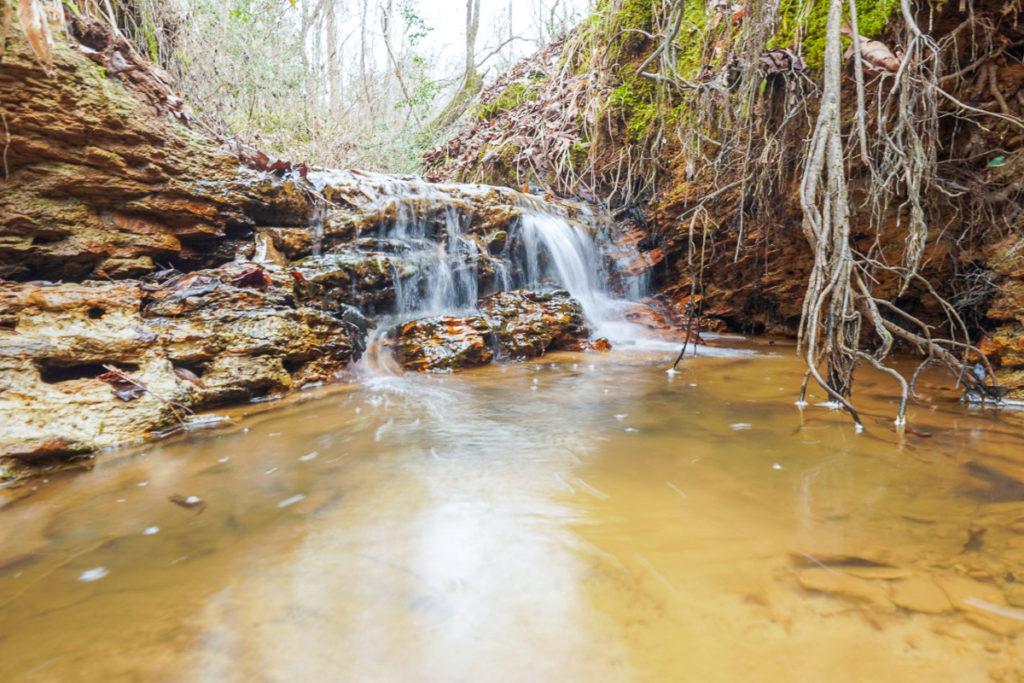
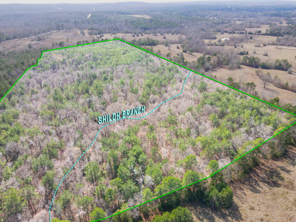
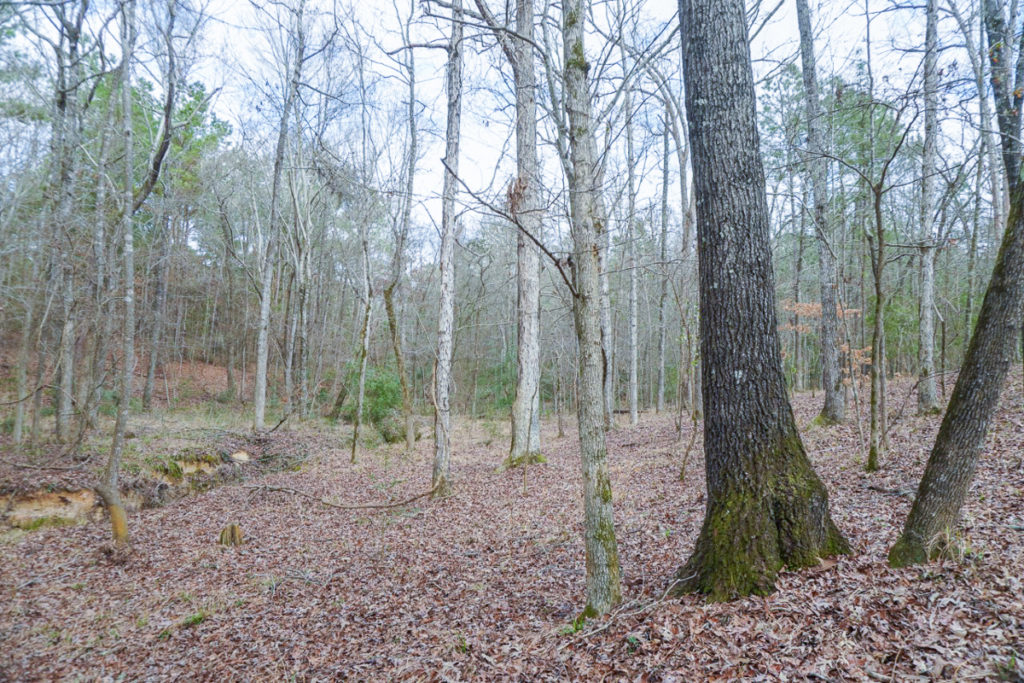
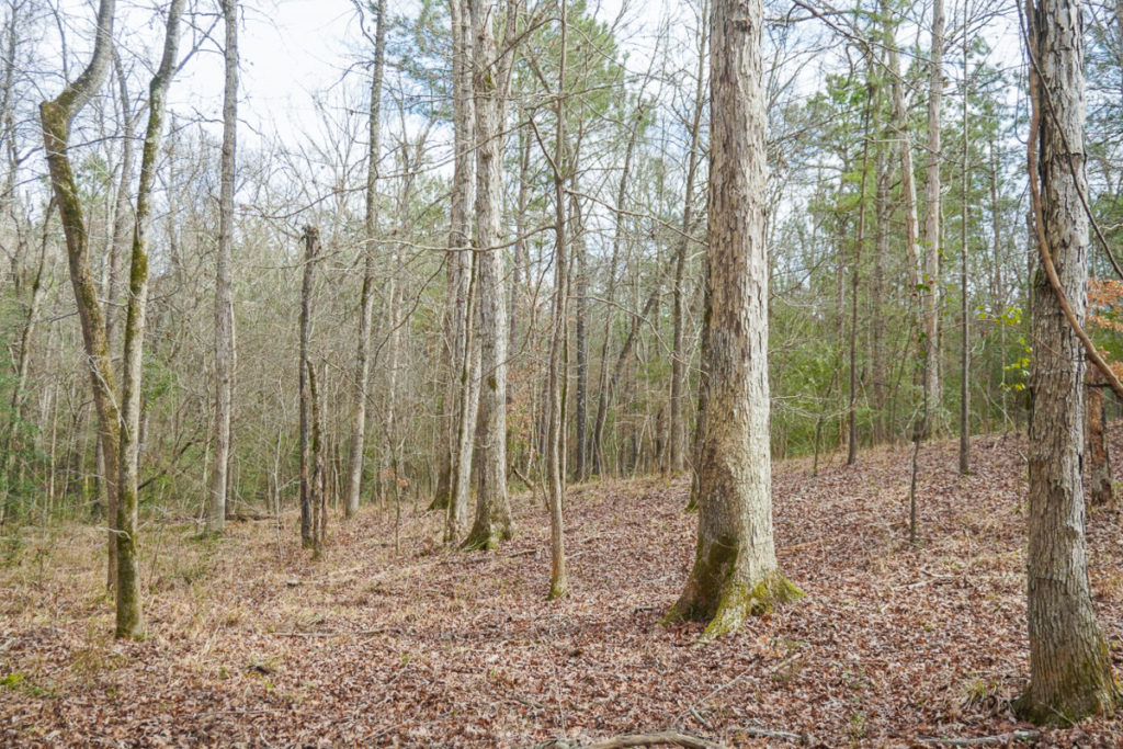
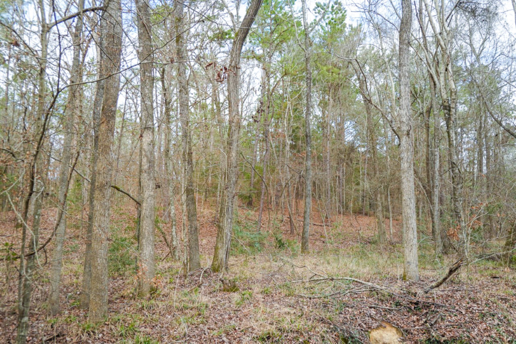
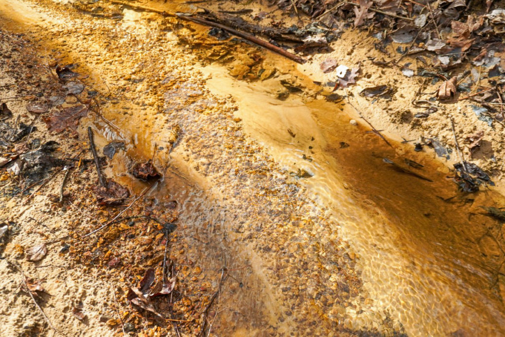
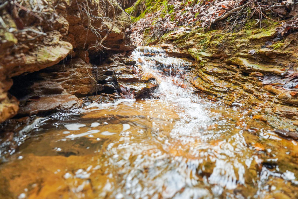
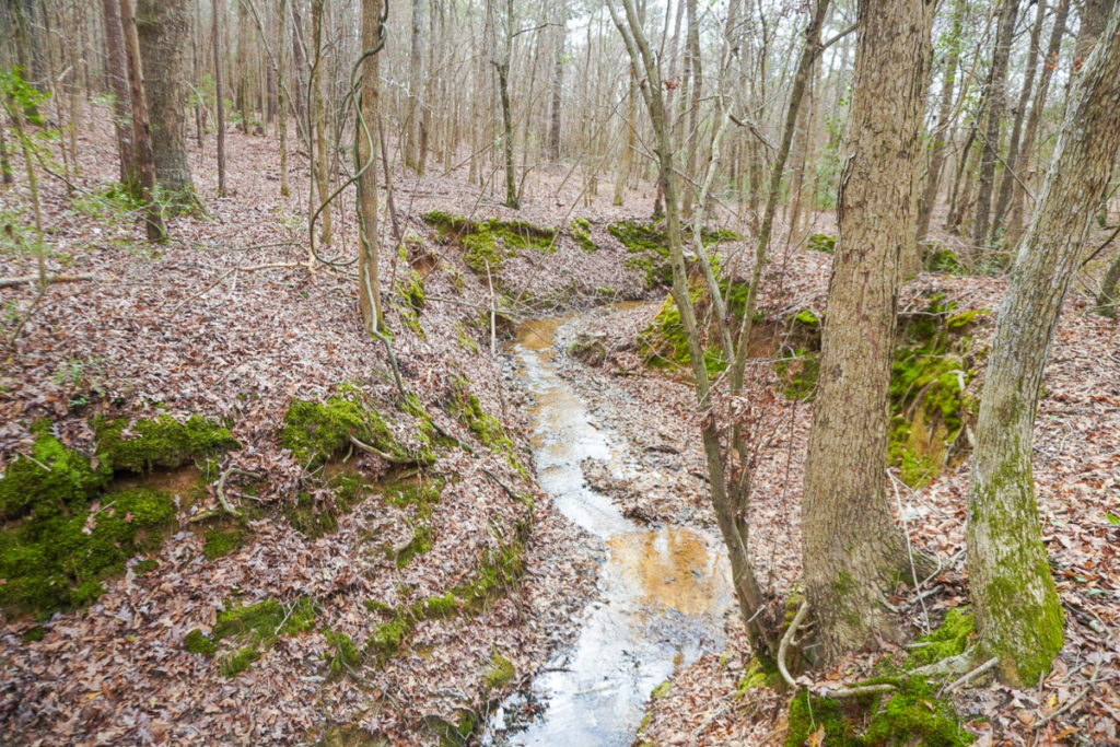
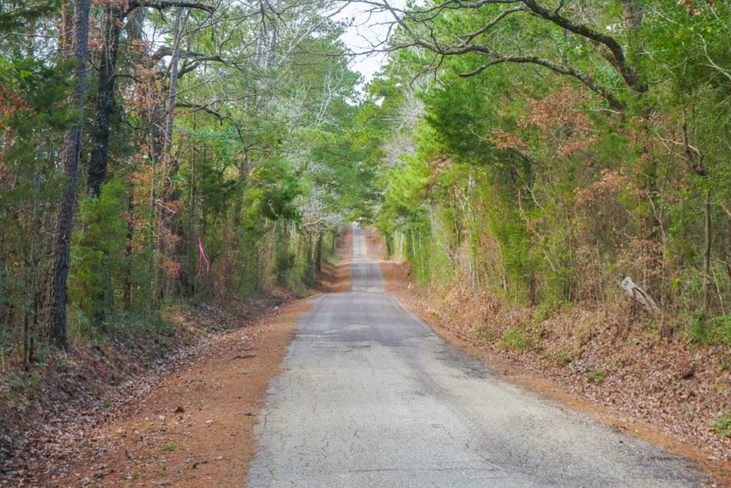
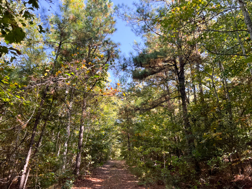
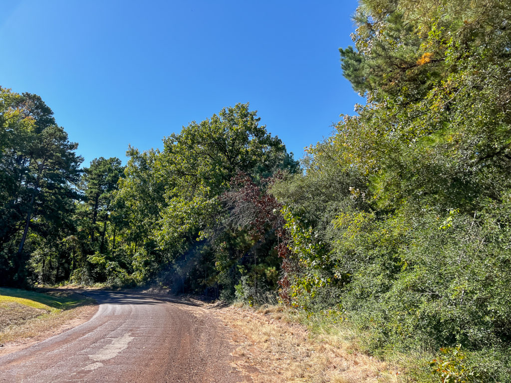
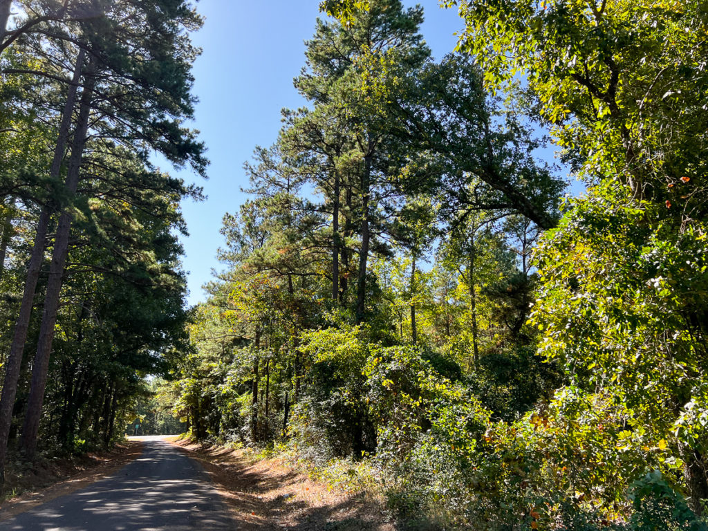
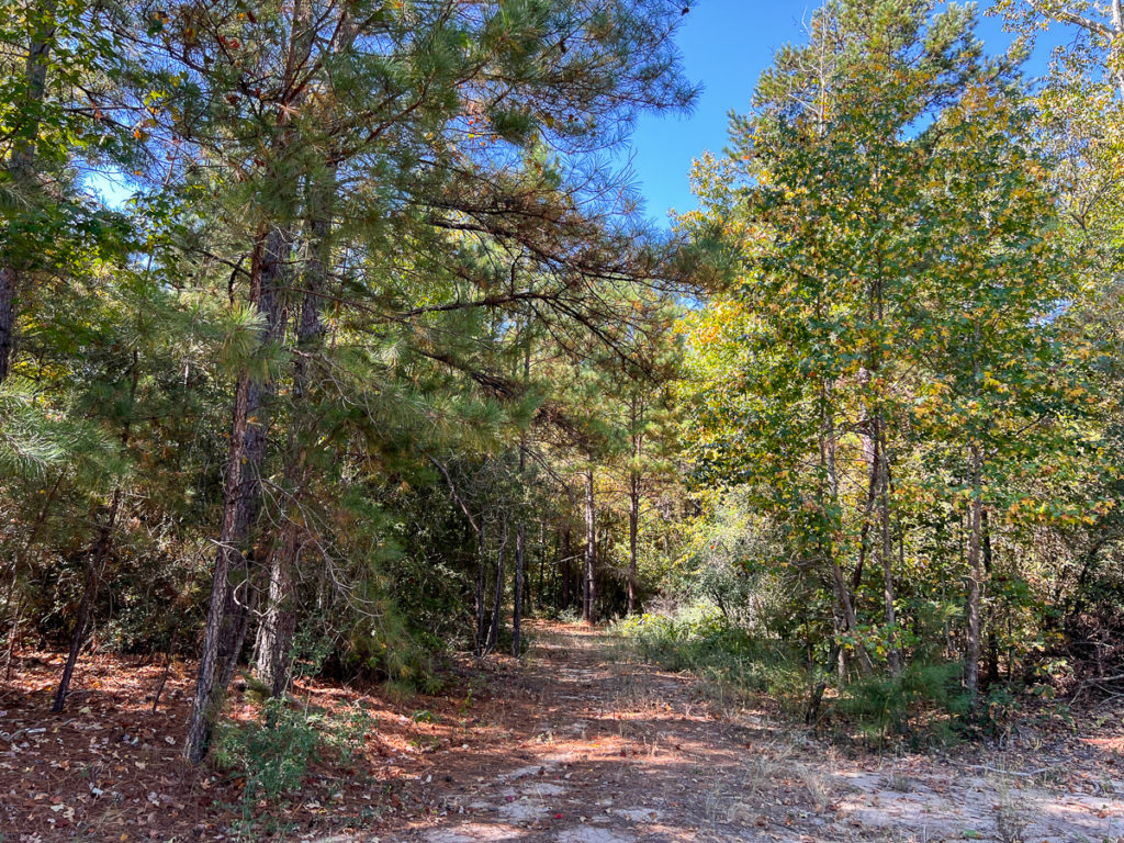
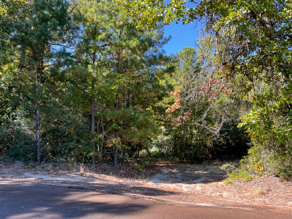
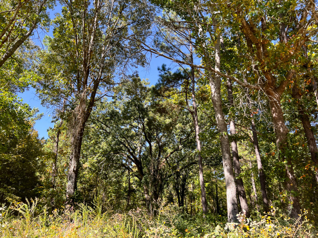
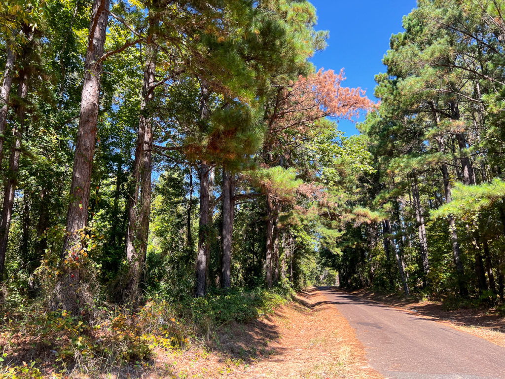
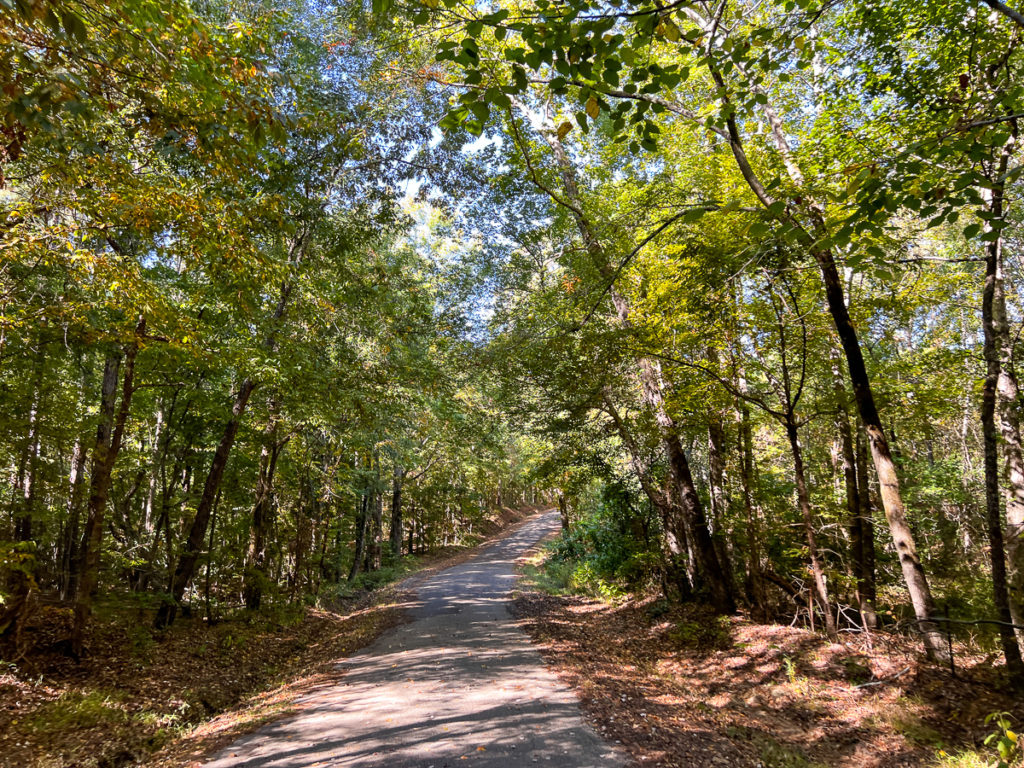
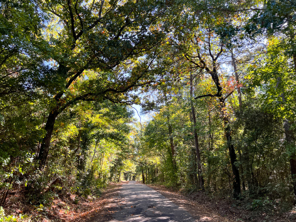
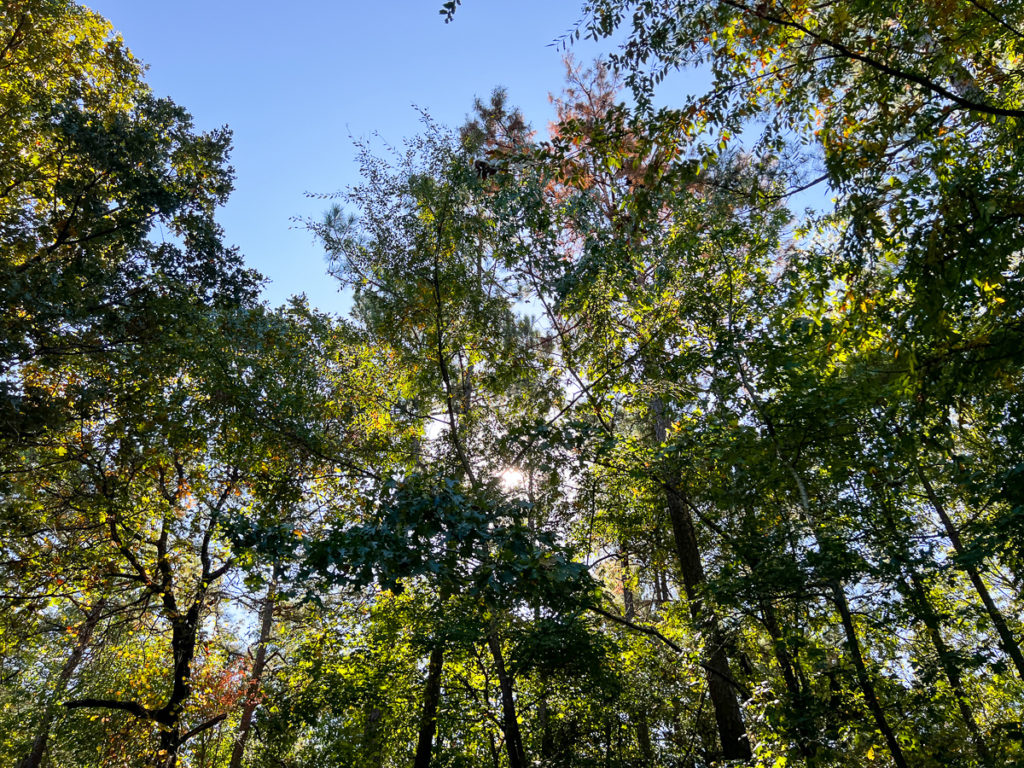
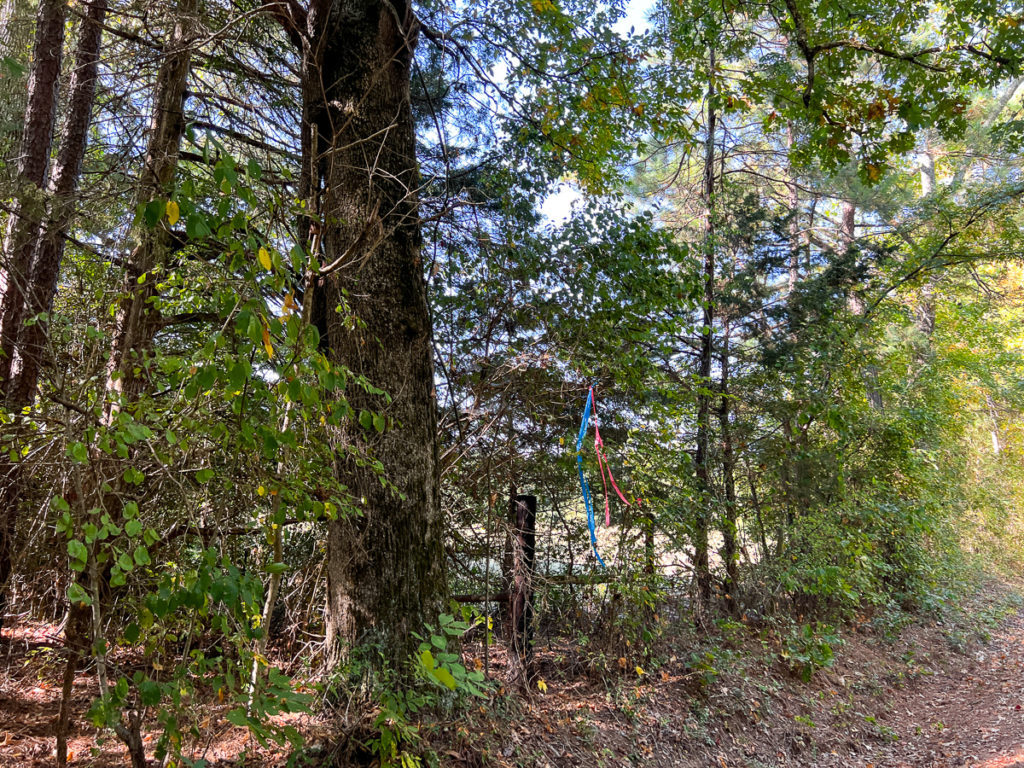
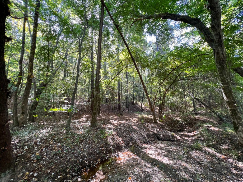
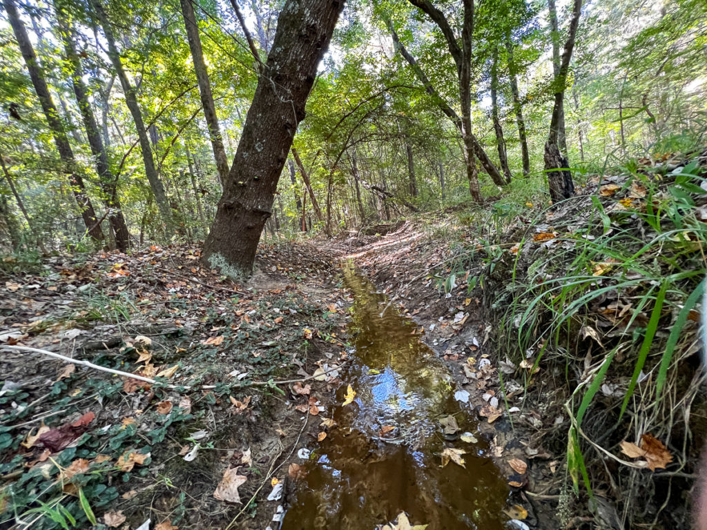
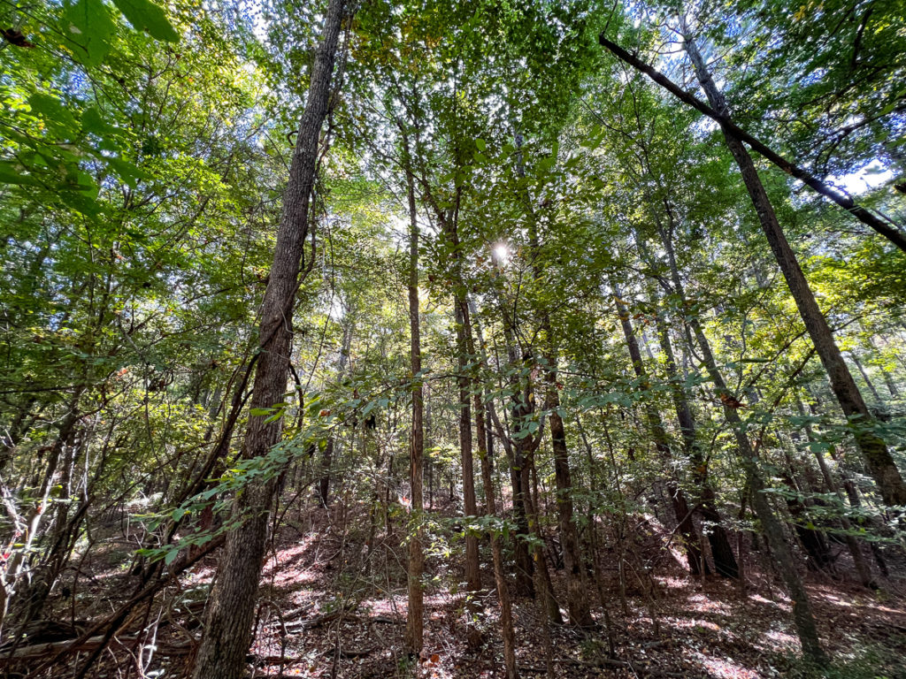
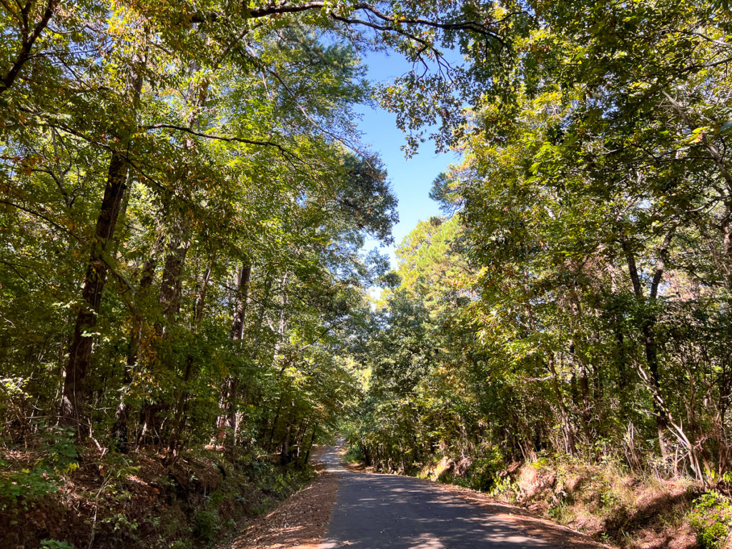
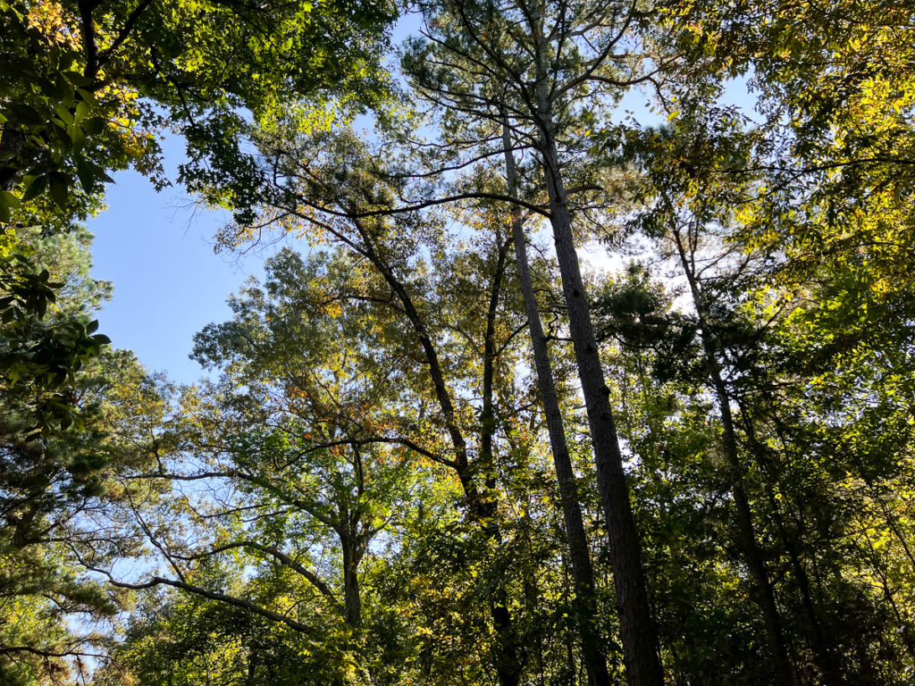
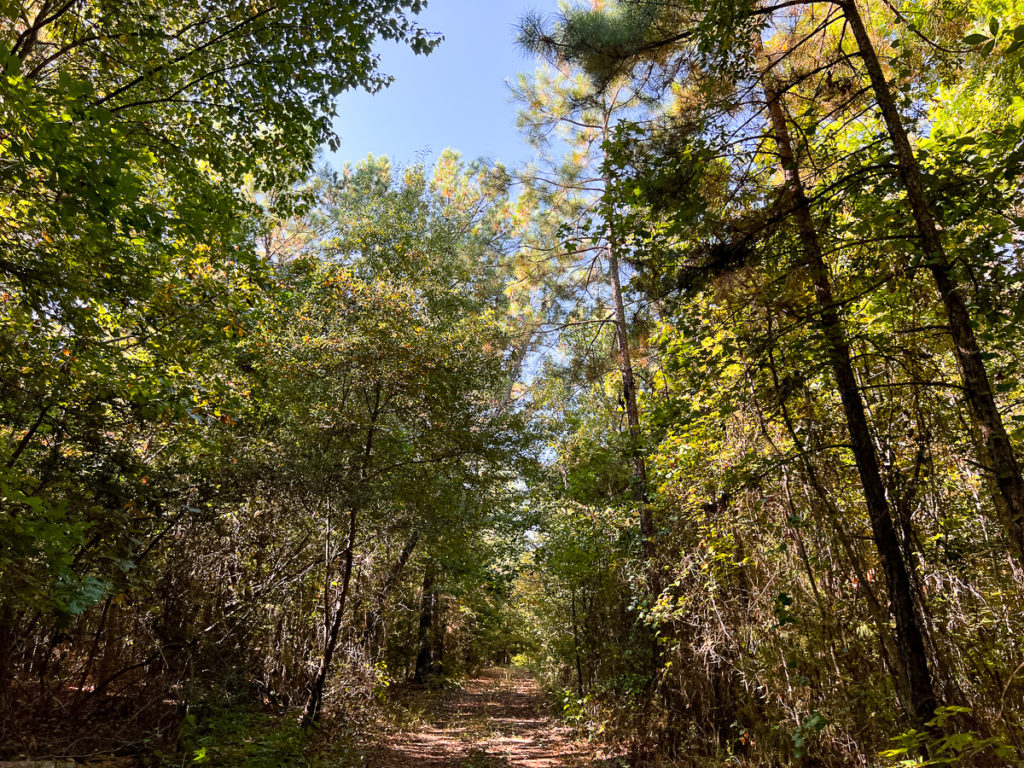
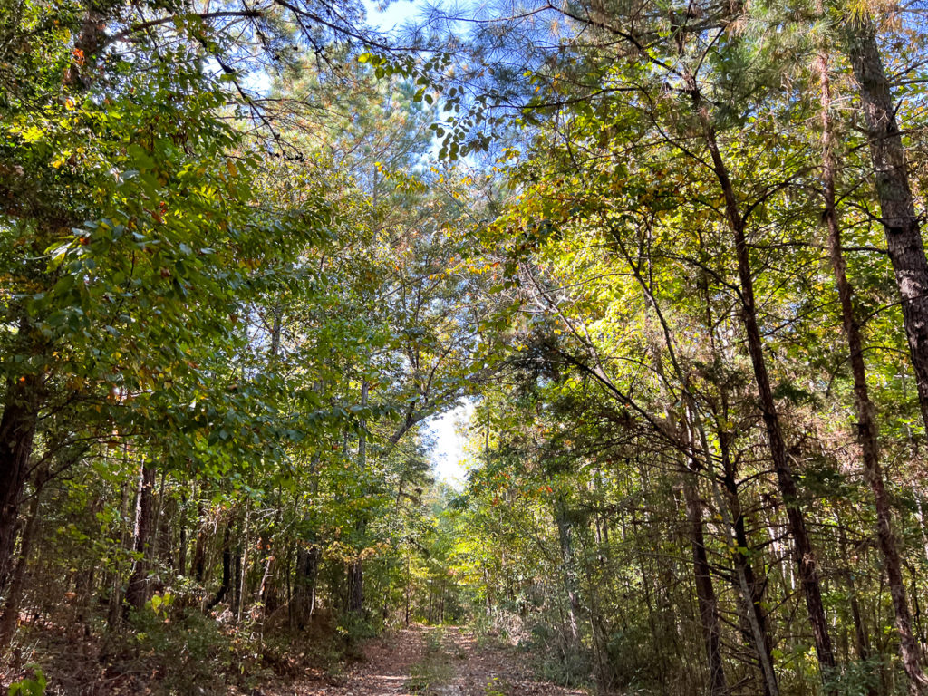
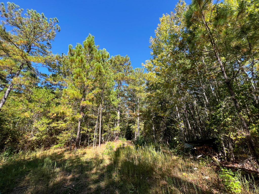
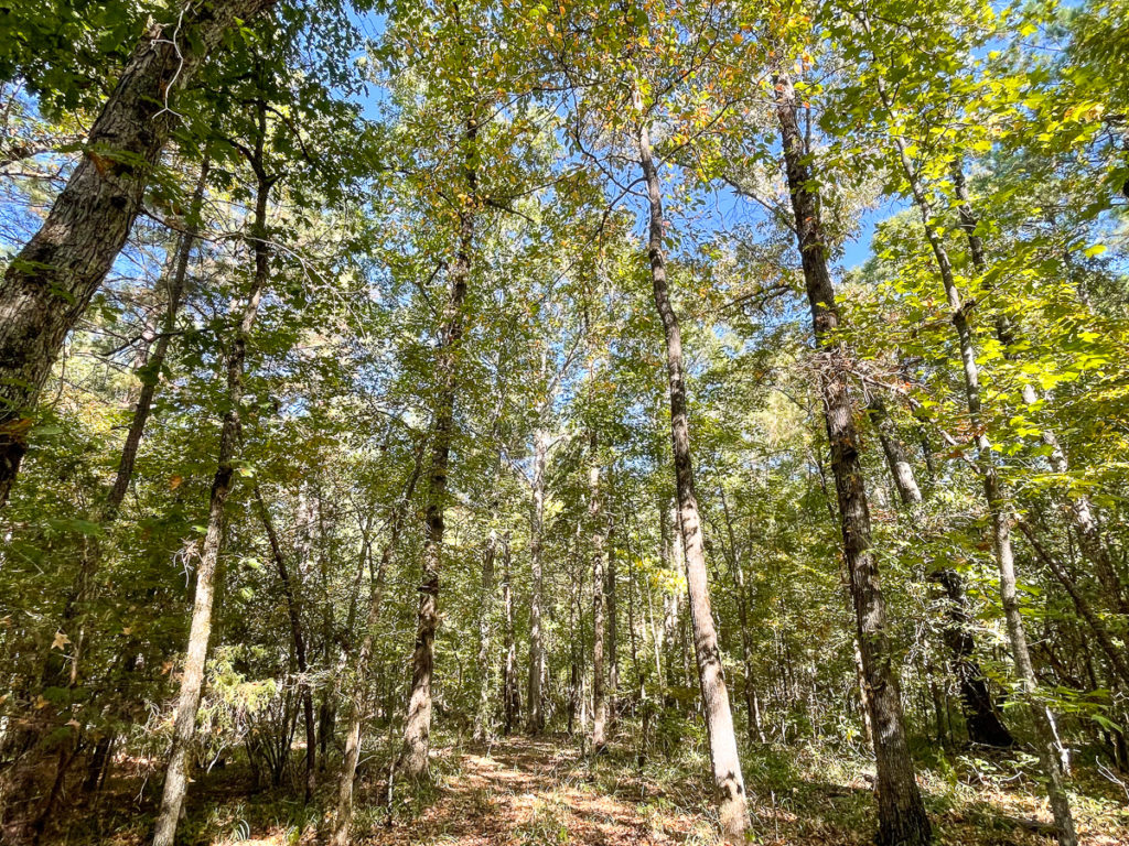
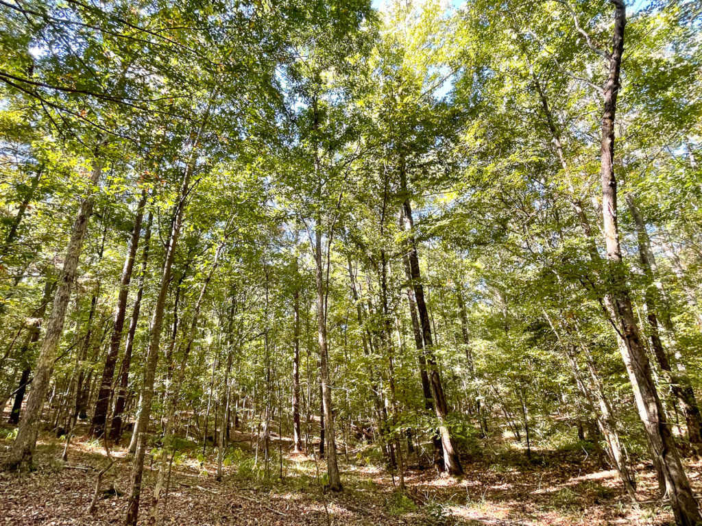
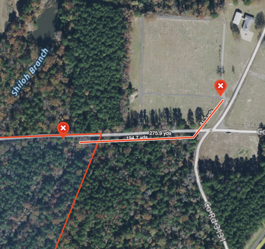
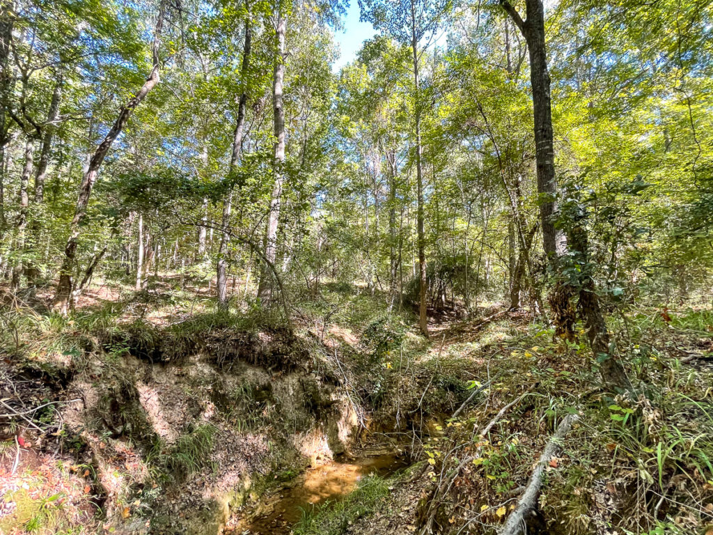
Big road frontage on County Road 3144, just west of State Highway 315. Conveniently located just 5 miles north of Mount Enterprise and 22 miles south of Carthage. This property offers rolling topography with a mix of native pine and hardwoods and great meandering trails. Shiloh Branch also runs through a portion of the property, making for a truly scenic walk through the woods.
Other Details
Showing/Viewing Instructions:Buyer &/or agents must notify Homeland Properties of intent to view/tour & make advance appointment. A minimum of 24 hours’ notice is required. Buyers must be accompanied by broker/agent. Licensed co-brokers are welcome to show this property by advance appointment and will receive a co-broker fee if the co-broker accompanies their buyer from the first contact to the closing of a sale.
Directions:From Mount Enterprise, Texas, head North on State Highway 315. Property will be on the west side of the highway, also fronted on the North by County Road 3144. See Location Maps herein.
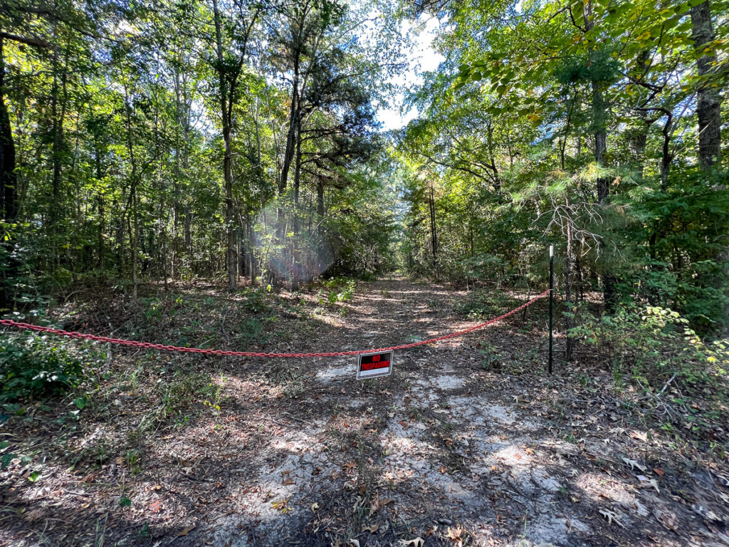
Access/Frontage:County Road 3144
Terrain Description:Gently sloping, densely wooded tract featuring a mix of varying age pine and hardwoods. No floodplain per maps on file.
Restrictions:None Known
Land Use:Horses Allowed, Hunting, Leisure Ranch, Recreation, Timber, Unrestricted
Utilities:Electricity By Extension
Utility District(s):Rusk County Electric Cooperative
Legal Description:N. Villareal Survey, A-800, Rusk Co., Texas
Corners/Property Lines:Visible and/or marked in field.
School District:Henderson ISD
Financial
Earnest Money:5%
Tax Year:2022
Tax ID:74334
Exemptions:Timber
Payment Options:Cash Sale, Conventional, Investor
Disclaimers
Listing Disclaimer:The use and/or reproduction of any marketing materials generated by HomeLand Properties, Inc. and/or its associated clients, including, but not limited to, maps, videos, photos, spreadsheets, diagrams, contracts, documents, etc. is strictly prohibited without written consent. The information contained herein is from sources deemed reliable but is not guaranteed by HomeLand Properties, Inc. The offerings are subject to change in price, errors, omissions, prior sales or withdrawal without notice. This disclaimer supersedes any & all information published by other MLS sites whether by permission or not, including, but not limited to, co-broker fees, if any. Acreage size and dimensions are approximate. County Appraisal District (CAD) market and tax values, as well as acreage size and/or shape, are not applicable to real estate market conditions and/or this solicitation, other than for ag value (1D1) purposes.
Legal Disclaimer:Size is approximate and subject to recorded legal description or surveyed gross acres to include, but not limited to, any acres lying within roads & easements. CAD shape files are not reliable. Shape files per maps herein are considered the most accurate available and are derived using the best information available, included, but not limited to, GIS data, field data, legal descriptions, and survey, if available.
Title and Survey Disclaimer:Expense subject to negotiation. Seller requires use of seller's preferred surveyor/title company.
Mineral Disclaimer:Oil and gas minerals have been reserved by prior owners. Other reservations subject to title and/or sellers contract when applicable.
Easement Disclaimer:Visible and apparent and/or marked in field - Electrical
Tax Disclaimer:Approximately $5/Ac/Yr with timber exemption. Properties may qualify for future exemption subject to usage.
Listing Agents


Property Photos:


-
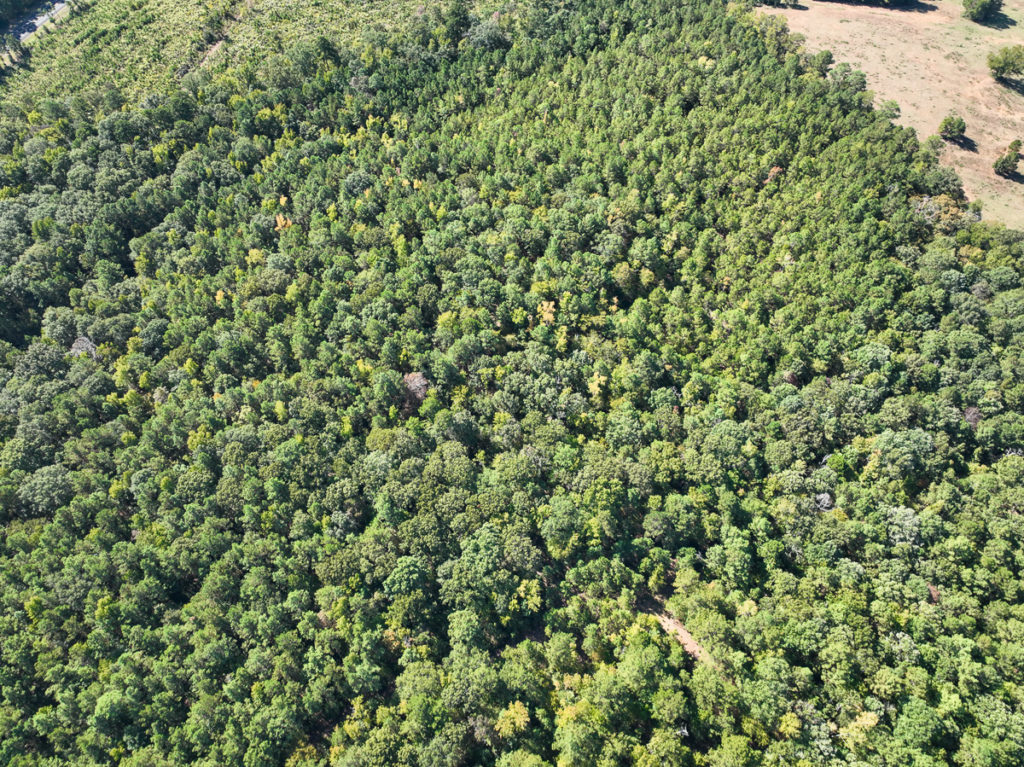
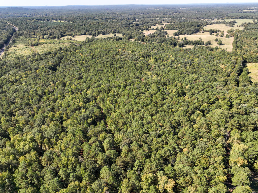
Aerial

-
Topography

-
Location Maps

-
Survey - 49 Acres

Showing/Viewing Instructions:Buyer &/or agents must notify Homeland Properties of intent to view/tour & make advance appointment. A minimum of 24 hours’ notice is required. Buyers must be accompanied by broker/agent. Licensed co-brokers are welcome to show this property by advance appointment and will receive a co-broker fee if the co-broker accompanies their buyer from the first contact to the closing of a sale.
Directions:From Mount Enterprise, Texas, head North on State Highway 315. Property will be on the west side of the highway, also fronted on the North by County Road 3144. See Location Maps herein.
Access/Frontage:County Road 3144
Terrain Description:Gently sloping, densely wooded tract featuring a mix of varying age pine and hardwoods. No floodplain per maps on file.
Restrictions:None Known
Land Use:Horses Allowed, Hunting, Leisure Ranch, Recreation, Timber, Unrestricted
Utilities:Electricity By Extension
Utility District(s):Rusk County Electric Cooperative
Legal Description:N. Villareal Survey, A-800, Rusk Co., Texas
Corners/Property Lines:Visible and/or marked in field.
School District:Henderson ISD
Earnest Money:5%
Tax Year:2022
Tax ID:74334
Exemptions:Timber
Payment Options:Cash Sale, Conventional, Investor
Listing Disclaimer:The use and/or reproduction of any marketing materials generated by HomeLand Properties, Inc. and/or its associated clients, including, but not limited to, maps, videos, photos, spreadsheets, diagrams, contracts, documents, etc. is strictly prohibited without written consent. The information contained herein is from sources deemed reliable but is not guaranteed by HomeLand Properties, Inc. The offerings are subject to change in price, errors, omissions, prior sales or withdrawal without notice. This disclaimer supersedes any & all information published by other MLS sites whether by permission or not, including, but not limited to, co-broker fees, if any. Acreage size and dimensions are approximate. County Appraisal District (CAD) market and tax values, as well as acreage size and/or shape, are not applicable to real estate market conditions and/or this solicitation, other than for ag value (1D1) purposes.
Legal Disclaimer:Size is approximate and subject to recorded legal description or surveyed gross acres to include, but not limited to, any acres lying within roads & easements. CAD shape files are not reliable. Shape files per maps herein are considered the most accurate available and are derived using the best information available, included, but not limited to, GIS data, field data, legal descriptions, and survey, if available.
Title and Survey Disclaimer:Expense subject to negotiation. Seller requires use of seller's preferred surveyor/title company.
Mineral Disclaimer:Oil and gas minerals have been reserved by prior owners. Other reservations subject to title and/or sellers contract when applicable.
Easement Disclaimer:Visible and apparent and/or marked in field - Electrical
Tax Disclaimer:Approximately $5/Ac/Yr with timber exemption. Properties may qualify for future exemption subject to usage.